File:Chiva de Abejorral.jpg
From Wikimedia Commons, the free media repository
Jump to navigation
Jump to search
Size of this preview: 800 × 600 pixels. Other resolutions: 320 × 240 pixels | 640 × 480 pixels | 1,024 × 768 pixels | 1,280 × 960 pixels | 1,632 × 1,224 pixels.
Original file (1,632 × 1,224 pixels, file size: 914 KB, MIME type: image/jpeg)
File information
Structured data
Captions
Camera location | 5° 45′ 19.89″ N, 75° 29′ 07.62″ W | View this and other nearby images on: OpenStreetMap | 5.755525; -75.485450 |
---|
DescriptionChiva de Abejorral.jpg |
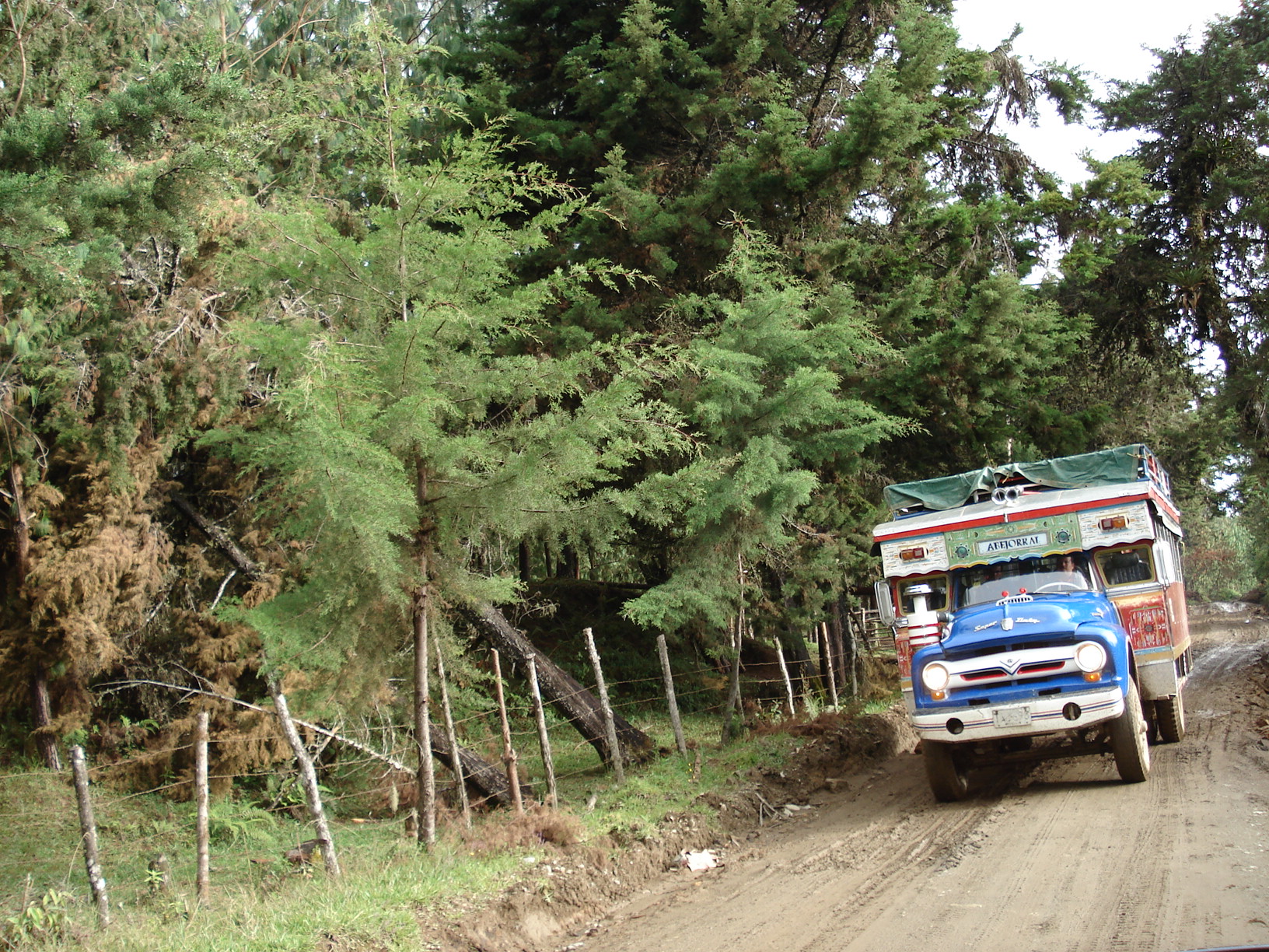
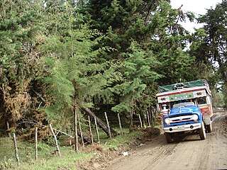
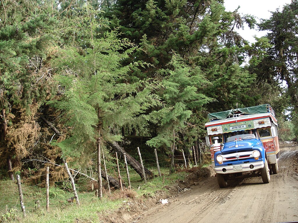
Chiva en el municipio de Abejorral, Antioquia. Chiva de Abejorral |
||
Date | |||
Source | Flickr | ||
Author | Luis Pérez | ||
Permission (Reusing this file) |
This file is licensed under the Creative Commons Attribution 2.0 Generic license.
|
||
Reviewer InfoField | Hiperion93 |
File history
Click on a date/time to view the file as it appeared at that time.
Date/Time | Thumbnail | Dimensions | User | Comment | |
---|---|---|---|---|---|
current | 18:40, 23 January 2008 | 1,632 × 1,224 (914 KB) | Flickr upload bot (talk | contribs) | Uploaded from http://flickr.com/photo/65092670@N00/271676638 using User:Flickr upload bot |
You cannot overwrite this file.
File usage on Commons
There are no pages that use this file.
Metadata
This file contains additional information such as Exif metadata which may have been added by the digital camera, scanner, or software program used to create or digitize it. If the file has been modified from its original state, some details such as the timestamp may not fully reflect those of the original file. The timestamp is only as accurate as the clock in the camera, and it may be completely wrong.
Camera manufacturer | SONY |
---|---|
Camera model | DSC-W30 |
Exposure time | 1/250 sec (0.004) |
F-number | f/2.8 |
ISO speed rating | 80 |
Date and time of data generation | 16:07, 14 October 2006 |
Lens focal length | 6.3 mm |
Latitude | 5° 45′ 19.89″ N |
Longitude | 75° 29′ 7.62″ W |
Altitude | 2,306 meters above sea level |
City shown | 55 km S of Medellin |
Orientation | Normal |
Horizontal resolution | 72 dpi |
Vertical resolution | 72 dpi |
File change date and time | 16:07, 14 October 2006 |
Y and C positioning | Co-sited |
Exposure Program | Normal program |
Exif version | 2.21 |
Date and time of digitizing | 16:07, 14 October 2006 |
Meaning of each component |
|
Image compression mode | 8 |
APEX exposure bias | 0 |
Maximum land aperture | 3 APEX (f/2.83) |
Metering mode | Pattern |
Light source | Unknown |
Flash | Flash did not fire, compulsory flash suppression |
Supported Flashpix version | 1 |
Color space | sRGB |
File source | Digital still camera |
Scene type | A directly photographed image |
Custom image processing | Normal process |
Exposure mode | Auto exposure |
White balance | Auto white balance |
Scene capture type | Standard |
Contrast | Normal |
Saturation | Normal |
Sharpness | Normal |
Geodetic survey data used | WGS-84 |
GPS tag version | 0.0.0.2 |
Province or state shown | Antioquia |
Country shown | Colombia |