File:Chike-TamanPass 0057a.jpg
Original file (5,464 × 3,640 pixels, file size: 16.9 MB, MIME type: image/jpeg)
Captions
Summary[edit]
DescriptionChike-TamanPass 0057a.jpg |
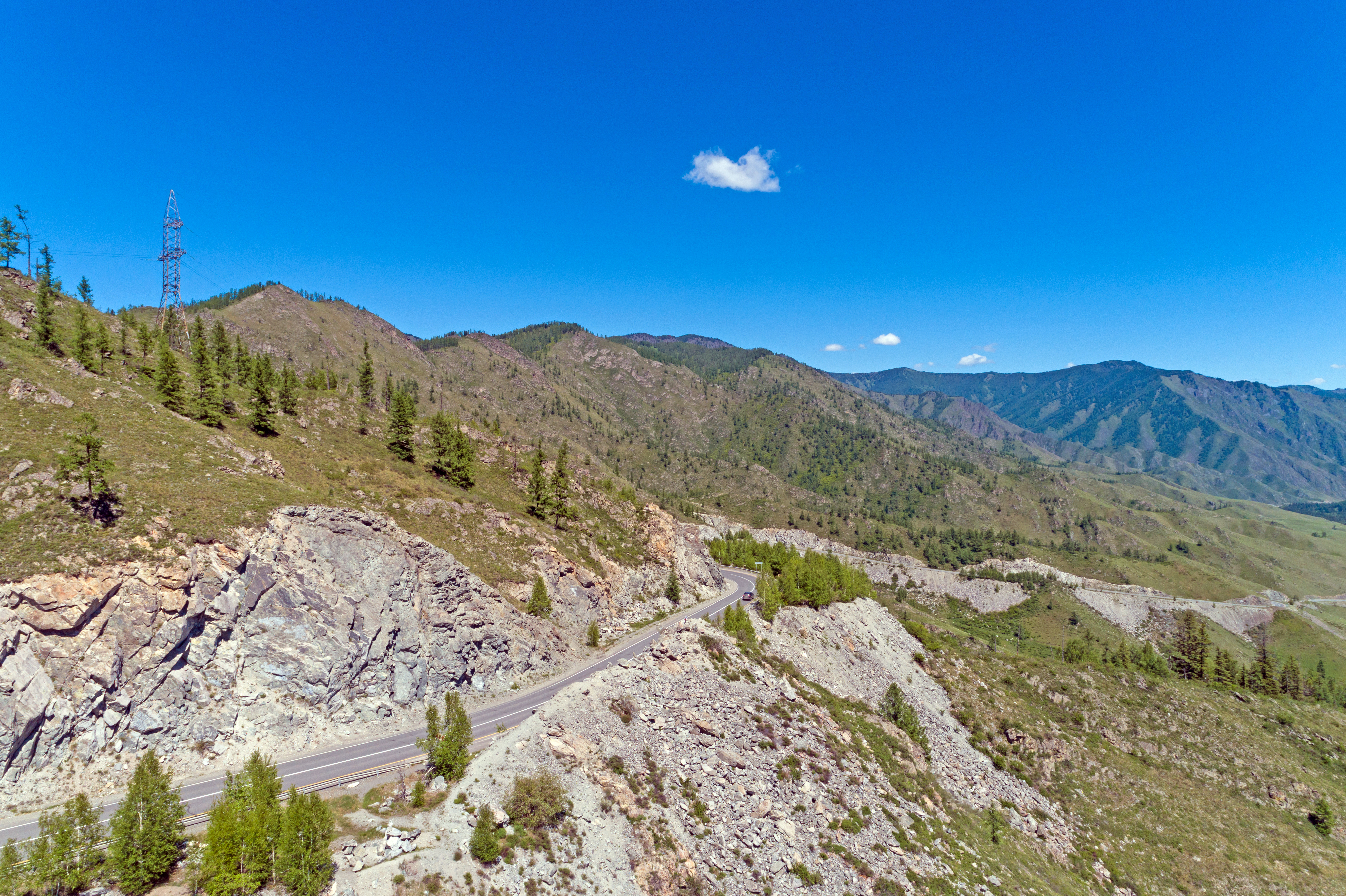
Русский: Перевал Чике-Таман: в 3 км к юго-востоку от с. Хабаровка, в осевой части водораздела рек Бол. и Мал. Ильгумень (левые притоки р. Катунь)., Хабаровка, Онгудайский район, Алтай
English: Chike-Taman Pass and New Chuya Highway, Altai Republic, Russia
|
|||
Date | Taken on 7 June 2021, 11:04:05 | |||
Source | Own work | |||
Author | Ludvig14 |
Camera location | 50° 38′ 38.6″ N, 86° 18′ 52.32″ E | View this and other nearby images on: OpenStreetMap | 50.644055; 86.314532 |
---|
Эта фотография сделана в ходе вики-экспедиции на Алтай, июнь 2021.
This picture was taken during a Russian Wikivoyage expedition. |
Licensing[edit]
- You are free:
- to share – to copy, distribute and transmit the work
- to remix – to adapt the work
- Under the following conditions:
- attribution – You must give appropriate credit, provide a link to the license, and indicate if changes were made. You may do so in any reasonable manner, but not in any way that suggests the licensor endorses you or your use.
- share alike – If you remix, transform, or build upon the material, you must distribute your contributions under the same or compatible license as the original.
This image was uploaded as part of Wiki Loves Earth 2021.
aragonés ∙ asturianu ∙ azərbaycanca ∙ Bahasa Indonesia ∙ Bahasa Melayu ∙ brezhoneg ∙ català ∙ čeština ∙ Cymraeg ∙ Deutsch ∙ eesti ∙ English ∙ español ∙ euskara ∙ français ∙ galego ∙ hrvatski ∙ italiano ∙ latviešu ∙ Nederlands ∙ norsk ∙ norsk bokmål ∙ português ∙ polski ∙ português do Brasil ∙ română ∙ shqip ∙ sicilianu ∙ slovenščina ∙ svenska ∙ Türkçe ∙ Ελληνικά ∙ беларуская (тарашкевіца) ∙ български ∙ македонски ∙ русский ∙ српски / srpski ∙ українська ∙ ქართული ∙ հայերեն ∙ नेपाली ∙ मराठी ∙ বাংলা ∙ മലയാളം ∙ ไทย ∙ 한국어 ∙ 日本語 ∙ 中文 ∙ 中文(台灣) ∙ 中文(简体) ∙ 中文(繁體) ∙ עברית ∙ اردو ∙ العربية ∙ فارسی ∙ +/− |
File history
Click on a date/time to view the file as it appeared at that time.
Date/Time | Thumbnail | Dimensions | User | Comment | |
---|---|---|---|---|---|
current | 13:56, 30 June 2021 | 5,464 × 3,640 (16.9 MB) | Ludvig14 (talk | contribs) | Uploaded own work with UploadWizard |
You cannot overwrite this file.
File usage on Commons
The following page uses this file:
File usage on other wikis
The following other wikis use this file:
- Usage on fr.wikipedia.org
- Usage on ru.wikivoyage.org
Metadata
This file contains additional information such as Exif metadata which may have been added by the digital camera, scanner, or software program used to create or digitize it. If the file has been modified from its original state, some details such as the timestamp may not fully reflect those of the original file. The timestamp is only as accurate as the clock in the camera, and it may be completely wrong.
Camera manufacturer | DJI |
---|---|
Camera model | FC6310 |
Exposure time | 1/500 sec (0.002) |
F-number | f/8 |
ISO speed rating | 100 |
Date and time of data generation | 11:04, 7 June 2021 |
Lens focal length | 8.8 mm |
Latitude | 50° 38′ 38.6″ N |
Longitude | 86° 18′ 52.31″ E |
Altitude | 1,318.474 meters above sea level |
Width | 5,464 px |
Height | 3,640 px |
Bits per component |
|
Pixel composition | RGB |
Orientation | Normal |
Number of components | 3 |
Horizontal resolution | 118 dpc |
Vertical resolution | 118 dpc |
Software used | Adobe Photoshop CS6 (Windows) |
File change date and time | 10:10, 17 June 2021 |
Exposure Program | Manual |
Exif version | 2.3 |
Date and time of digitizing | 11:04, 7 June 2021 |
APEX shutter speed | 8.965784 |
APEX aperture | 6 |
APEX exposure bias | 0 |
Maximum land aperture | 2.97 APEX (f/2.8) |
Subject distance | 0 meters |
Metering mode | Center weighted average |
Light source | Daylight |
Flash | Flash did not fire, No flash function |
Color space | sRGB |
File source | Digital still camera |
Scene type | A directly photographed image |
Custom image processing | Normal process |
Exposure mode | Manual exposure |
White balance | Auto white balance |
Digital zoom ratio | 0 |
Focal length in 35 mm film | 24 mm |
Scene capture type | Standard |
Scene control | None |
Contrast | Normal |
Saturation | Normal |
Sharpness | Normal |
Subject distance range | Unknown |
GPS tag version | 0.0.3.2 |
Serial number of camera | 6840927dc0c36c0d1c69152e57eb388f |
Lens used | 24.0 mm |
Date metadata was last modified | 13:10, 17 June 2021 |
Unique ID of original document | F2B69D3B8C6E50D91B1B015504FECF17 |
IIM version | 4 |
Structured data
Items portrayed in this file
depicts
50°38'38.598"N, 86°18'52.315"E
7 June 2021
0.002 second
8.8 millimetre
100
image/jpeg
6735eba4aac4ddb5300715000cfe30cc570e0ef6
17,722,096 byte
3,640 pixel
5,464 pixel
- Protected areas of Russia/0410021
- Protected areas of Russia with known IDs
- Russia photographs taken on 2021-06-07
- Files with coordinates missing SDC location of creation
- Russian Wikivoyage expedition Altay 2021
- CC-BY-SA-4.0
- Self-published work
- Images from Wiki Loves Earth 2021
- Images from Wiki Loves Earth 2021 in Russia
- Images from Wiki Loves Earth missing SDC location of creation
- Taken with DJI FC6310
- Uploaded via Campaign:wle-ru
- Pages with maps