File:Chelmsford Bus Station (geograph 7615597).jpg
Jump to navigation
Jump to search
Size of this preview: 800 × 451 pixels. Other resolutions: 320 × 180 pixels | 640 × 360 pixels | 1,024 × 577 pixels | 1,280 × 721 pixels | 2,560 × 1,442 pixels | 4,624 × 2,604 pixels.
Original file (4,624 × 2,604 pixels, file size: 3.99 MB, MIME type: image/jpeg)
Captions
Captions
Add a one-line explanation of what this file represents
Summary[edit]
.jpg&action=edit§ion=1)
| Description |
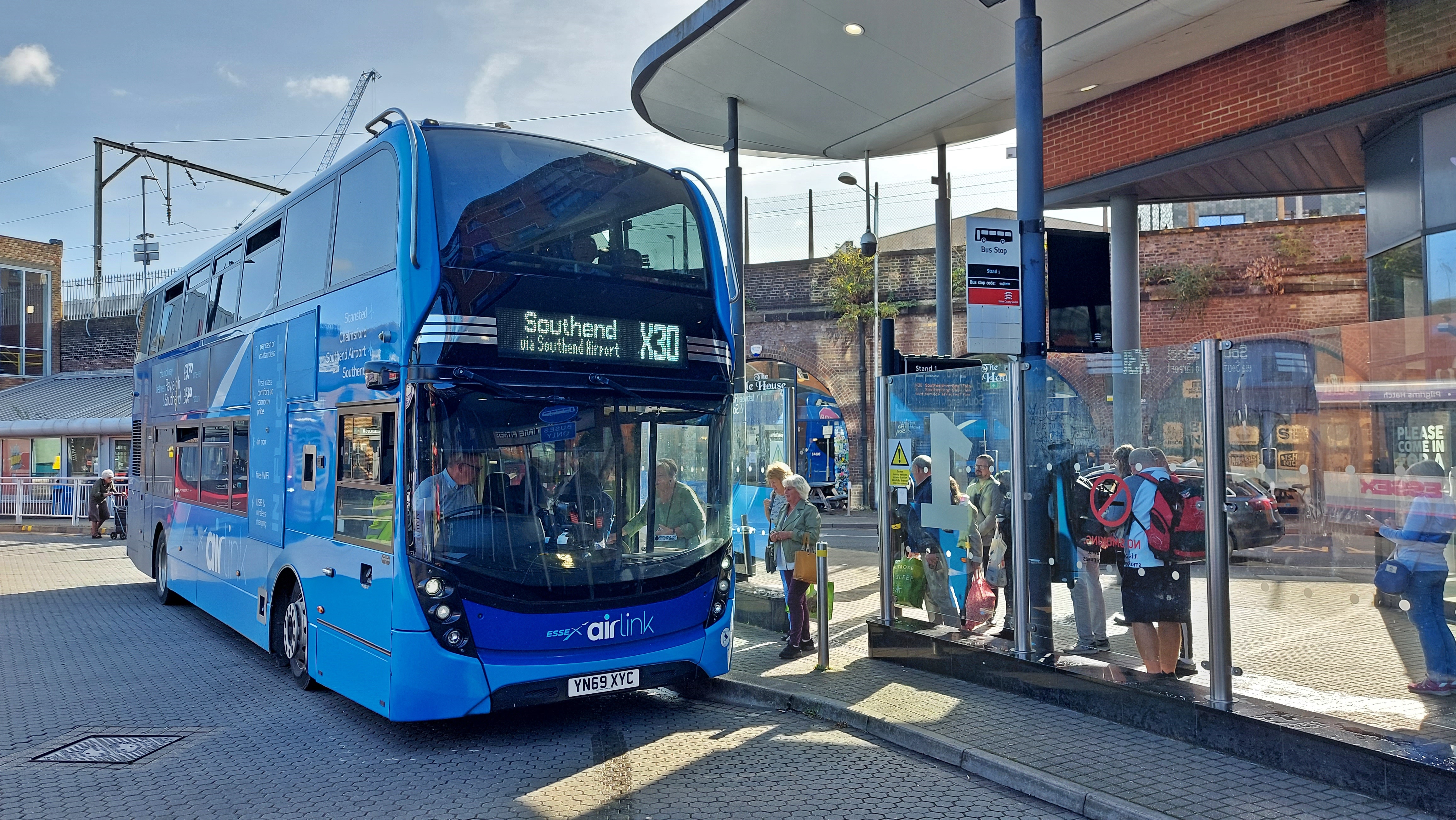
English: Chelmsford Bus Station |
| Date | |
| Source | From geograph.org.uk |
| Author | Mark Percy |
| Permission (Reusing this file) |
Creative Commons Attribution Share-alike license 2.0 |
| Attribution (required by the license) | Mark Percy / Chelmsford Bus Station / |
| Camera location | | View this and other nearby images on: OpenStreetMap |
|---|
.jpg¶ms=051.736230_N_0000.467145_E_globe:Earth_type:camera_source:geograph-osgb36(TL7045407049)_heading:225.00&language=en)
| Object location | | View this and other nearby images on: OpenStreetMap |
|---|
.jpg¶ms=051.736230_N_0000.467140_E_globe:Earth_class:object_type:object_source:geograph-osgb36(TL7045407049)_heading:225.00&language=en)
Licensing[edit]
.jpg&action=edit§ion=2)

|
This image was taken from the Geograph project collection. See this photograph's page on the Geograph website for the photographer's contact details. The copyright on this image is owned by Mark Percy and is licensed for reuse under the Creative Commons Attribution-ShareAlike 2.0 license.
|
This file is licensed under the Creative Commons Attribution-Share Alike 2.0 Generic license.
Attribution: Mark Percy
- You are free:
- to share – to copy, distribute and transmit the work
- to remix – to adapt the work
- Under the following conditions:
- attribution – You must give appropriate credit, provide a link to the license, and indicate if changes were made. You may do so in any reasonable manner, but not in any way that suggests the licensor endorses you or your use.
- share alike – If you remix, transform, or build upon the material, you must distribute your contributions under the same or compatible license as the original.
File history
Click on a date/time to view the file as it appeared at that time.
| Date/Time | Thumbnail | Dimensions | User | Comment | |
|---|---|---|---|---|---|
| current | 07:25, 5 October 2023 | | 4,624 × 2,604 (3.99 MB) | Hullian111-Flickr2Commons (talk | contribs) | == {{int:filedesc}} == {{Information |Description={{en|1=Chelmsford Bus Station}} |Source=From [https://www.geograph.org.uk/photo/7615597 geograph.org.uk] |Date=2023-09-29 |Author=[https://www.geograph.org.uk/profile/18030 Mark Percy] |Permission=Creative Commons Attribution Share-alike license 2.0 |Other fields={{Credit line |Author=Mark Percy |License=[https://creativecommons.org/licenses/by-sa/2.0/ CC BY-SA 2.0] |Other=''Chelmsford Bus Station'' }} }} {{Location|51.736230|0.467145|sour... |
You cannot overwrite this file.
File usage on Commons
There are no pages that use this file.
File usage on other wikis
The following other wikis use this file:
- Usage on en.wikipedia.org
Metadata
.jpg&oldid=855323525)
Categories:
- First Essex
- Airport buses in the United Kingdom
- Buses with route branding in the United Kingdom
- Alexander Dennis Enviro400 MMC on Scania N250UD buses in the United Kingdom
- Buses in Essex
- Chelmsford bus station
- Buses in the United Kingdom photographed in September 2023
- September 2023 in Essex
- 69 registered buses in the United Kingdom
- Blue buses in the United Kingdom