File:Cartouche in a Ukraine map by Ottens.jpg
Jump to navigation
Jump to search

Size of this preview: 668 × 599 pixels. Other resolutions: 268 × 240 pixels | 535 × 480 pixels | 856 × 768 pixels | 1,141 × 1,024 pixels | 2,282 × 2,048 pixels | 3,098 × 2,780 pixels.
Original file (3,098 × 2,780 pixels, file size: 2.06 MB, MIME type: image/jpeg)
Captions
Captions
Add a one-line explanation of what this file represents
Summary[edit]
| Warning | The original file is very high-resolution. It might not load properly or could cause your browser to freeze when opened at full size. |
|---|
| Description |
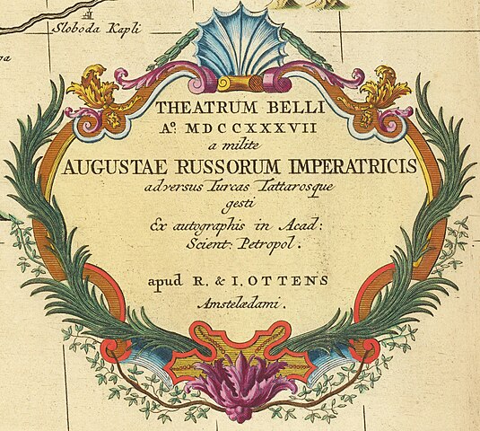
Deutsch: Kriegskarte mit Frontverläufen von 1737 zum Russisch-Österreichischer Türkenkrieg (1736–1739), gedruckt 1744 English: 1737 (=> MDCCXXXVII) map of the seat of the Russo-Turkish War (1735–1739)
Latina: Theatrum Belli Ao. MDCCXXXVII a milite Augustae Russorum Imperatricis adversus Turcas Tattarosque gesti Ex autographis in Acad: Scient: Petropol. . . . |
| Date | |
| Source | https://www.raremaps.com/gallery/detail/62704op/theatrum-belli-ao-mdccxxxvii-a-milite-augustae-russorum-imp-ottens |
| Author | Reiner & Joshua Ottens |
| Other versions |
.jpg)
Licensing[edit]
|
This work is in the public domain in its country of origin and other countries and areas where the copyright term is the author's life plus 70 years or fewer. This work is in the public domain in the United States because it was published (or registered with the U.S. Copyright Office) before January 1, 1929. | |
| This file has been identified as being free of known restrictions under copyright law, including all related and neighboring rights. | |
File history
Click on a date/time to view the file as it appeared at that time.
| Date/Time | Thumbnail | Dimensions | User | Comment | |
|---|---|---|---|---|---|
| current | 18:05, 19 December 2022 | | 3,098 × 2,780 (2.06 MB) | Enyavar (talk | contribs) | File:1744 map of the seat of the Russo-Turkish War (1735–1739).jpg cropped 81 % horizontally, 78 % vertically using CropTool with precise mode. |
You cannot overwrite this file.
File usage on Commons
The following page uses this file: