File:Cartouche in a Prussia map by Henneberg.jpg

Original file (1,132 × 729 pixels, file size: 172 KB, MIME type: image/jpeg)
Captions
Captions
Summary[edit]
| Description |
Descripción bibliográfica: Geographia Blaviana. - [Amsterdam : Juan Blaeu, 1659] . - [32], VI, 96 p., 34 f., h. 35a, 35b, 35c, 35d, 36-44 f., 34, [2], 36-40, [2], 43-70 [i. e. 75], [1] f., [20] p. de map., [9] f. de map., [4] f. pleg. de map., [2] f. de plan., [2] f. ge grab. : |bil. ; |cFol. marca major (57 cm.) . - En la dedicatoria a Felipe IV: "Presenta ... El Atlas Universal y Cosmographico de los orbes y terrestre ... Juan Blaeu" . - Título tomado del frontispicio. -- Privilegio fechado en 1659. -Errores de pag. - Sign.: [ ]1, *2, **3, ***-****2, a-e2, A-I2, K1, L-Z2, Aa-Dd2, 4[ ]2, Ee-Ff2, A-I2, K1, L2, M1, N-Y2, Z5, Aa-Dd2, Ee1, A-D2, E-F1, G-I2, K-L1, M-O2, P1, Q-Z2, Aa-Bb2, Cc1, Dd3, Ff-Zz2, Aaa-Bbb2, [ ]. - Frontispicio grab. col. -- Incluye un total de 49 il. entre map., plan. i grab.
Impresor: Blaeu, Joan, 1596-1673, imp. (after the 1579 map by Caspar Hennenberger) Lugar de impresión: Holanda. Amsterdam
|
| Date | |
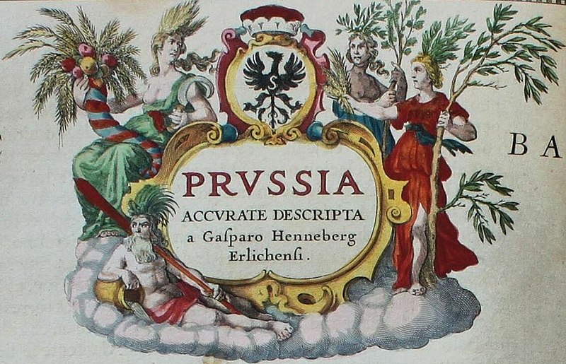
| Source | "Prussia accurate descripta / a Gasparo Henneberg Erlichensi." |
| Author | Fondo Antiguo de la Biblioteca de la Universidad de Sevilla from Sevilla, España |
| Other versions |
.jpg)
Licensing[edit]
- You are free:
- to share – to copy, distribute and transmit the work
- to remix – to adapt the work
- Under the following conditions:
- attribution – You must give appropriate credit, provide a link to the license, and indicate if changes were made. You may do so in any reasonable manner, but not in any way that suggests the licensor endorses you or your use.
File history
Click on a date/time to view the file as it appeared at that time.
| Date/Time | Thumbnail | Dimensions | User | Comment | |
|---|---|---|---|---|---|
| current | 19:36, 21 December 2022 | | 1,132 × 729 (172 KB) | Enyavar (talk | contribs) | File:"Prussia accurate descripta - a Gasparo Henneberg Erlichensi." (22064855660).jpg cropped 71 % horizontally, 76 % vertically using CropTool with precise mode. |
You cannot overwrite this file.
File usage on Commons
The following page uses this file: