File:Carrier Mills Archaeological District.jpg
Jump to navigation
Jump to search

Size of this preview: 800 × 450 pixels. Other resolutions: 320 × 180 pixels | 640 × 360 pixels | 1,024 × 576 pixels | 1,280 × 720 pixels | 2,816 × 1,584 pixels.
Original file (2,816 × 1,584 pixels, file size: 1.01 MB, MIME type: image/jpeg)
Captions
Captions
Add a one-line explanation of what this file represents
|
This is an image of a place or building that is listed on the National Register of Historic Places in the United States of America. Its reference number is 78001184. |
| Camera location | | View this and other nearby images on: OpenStreetMap |
|---|
| Description |
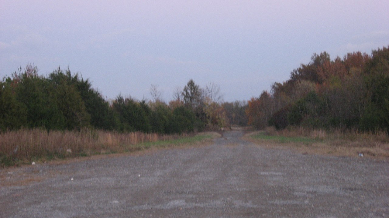
English: Looking eastward from Tuller Road (400E) south of Carrier Mills in Carrier Mills Township, Saline County, Illinois, United States. The land in the distance is part of the Carrier Mills Archaeological District, a historic district composed of archaeological sites that are listed on the National Register of Historic Places. |
||
| Date | Taken on 2 November 2013 | ||
| Source | Own work | ||
| Author | Nyttend | ||
| Permission (Reusing this file) |
|
File history
Click on a date/time to view the file as it appeared at that time.
| Date/Time | Thumbnail | Dimensions | User | Comment | |
|---|---|---|---|---|---|
| current | 23:40, 8 November 2013 | | 2,816 × 1,584 (1.01 MB) | Nyttend (talk | contribs) | {{NRHP|78001184}} {{Location|37|39|43.5|N|88|38|0|W}} {{Information |Description={{en|Looking eastward from Tuller Road (400E) south of {{w|Carrier Mills, Illinois|Carrier Mills}} in {{w|Carrier Mills Township, Saline County, Illinois|Carrier Mills Tow... |
You cannot overwrite this file.
File usage on Commons
There are no pages that use this file.
File usage on other wikis
The following other wikis use this file:
- Usage on de.wikipedia.org
- Usage on en.wikipedia.org
- Usage on www.wikidata.org