File:CaribbeanIslands PT.png
Jump to navigation
Jump to search
Size of this preview: 800 × 480 pixels. Other resolutions: 320 × 192 pixels | 1,024 × 614 pixels | 1,500 × 900 pixels.
Original file (1,500 × 900 pixels, file size: 530 KB, MIME type: image/png)
Captions
Captions
Add a one-line explanation of what this file represents
| Description |
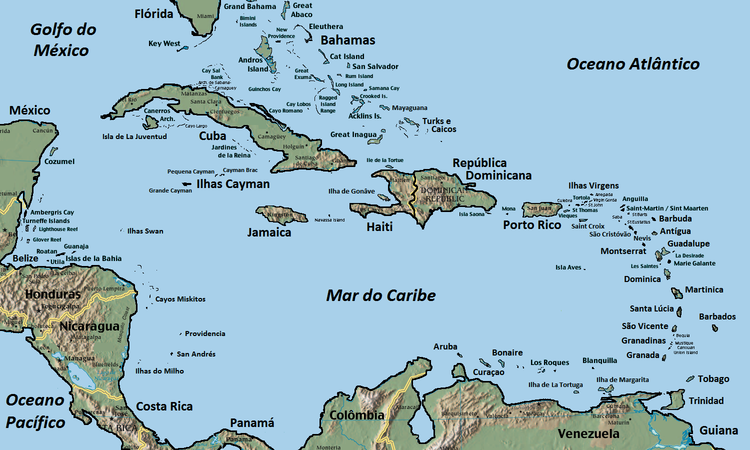
English: Maps of Caribbean Islands. Self modified from here.
Português: Mapa das ilhas do Caribe. |
| Date | (UTC) |
| Source | |
| Author |
|
| This is a retouched picture, which means that it has been digitally altered from its original version. Modifications: Traduzido para o português. The original can be viewed here: CaribbeanIslands.png:
|
This image is in the public domain because it contains materials that originally came from the United States Central Intelligence Agency's World Factbook.
|
 |
Original upload log[edit]
This image is a derivative work of the following images:
- File:CaribbeanIslands.png licensed with PD-USGov, PD-USGov-CIA-WF
- 2007-12-12T03:56:47Z Frenciscobcn 1500x900 (591270 Bytes) {{Information |Description={{en|Self modified from https://www.cia.gov/cia/publications/factbook/reference_maps/pdf/central_america.pdf}} |Source=Transfered from [http://en.wikipedia.org en.wikipedia] Transfer was stated to b
Uploaded with derivativeFX
File history
Click on a date/time to view the file as it appeared at that time.
| Date/Time | Thumbnail | Dimensions | User | Comment | |
|---|---|---|---|---|---|
| current | 20:11, 13 January 2010 | | 1,500 × 900 (530 KB) | Rachmaninoff (talk | contribs) | {{Information |Description={{en|Maps of Caribbean Islands. Self modified from [https://www.cia.gov/cia/publications/factbook/reference_maps/pdf/central_america.pdf here].}} {{pt|Mapa das ilhas do Caribe.}} |Source=*File:CaribbeanIslands.png |Date=20 |
You cannot overwrite this file.
File usage on Commons
There are no pages that use this file.
File usage on other wikis
The following other wikis use this file:
- Usage on es.wikipedia.org
- Usage on pt.wikipedia.org