File:Cape Fullerton.png
Jump to navigation
Jump to search
Size of this preview: 800 × 491 pixels. Other resolutions: 320 × 196 pixels | 640 × 393 pixels | 1,024 × 629 pixels | 1,500 × 921 pixels.
Original file (1,500 × 921 pixels, file size: 372 KB, MIME type: image/png)
Captions
Captions
Add a one-line explanation of what this file represents
Summary[edit]
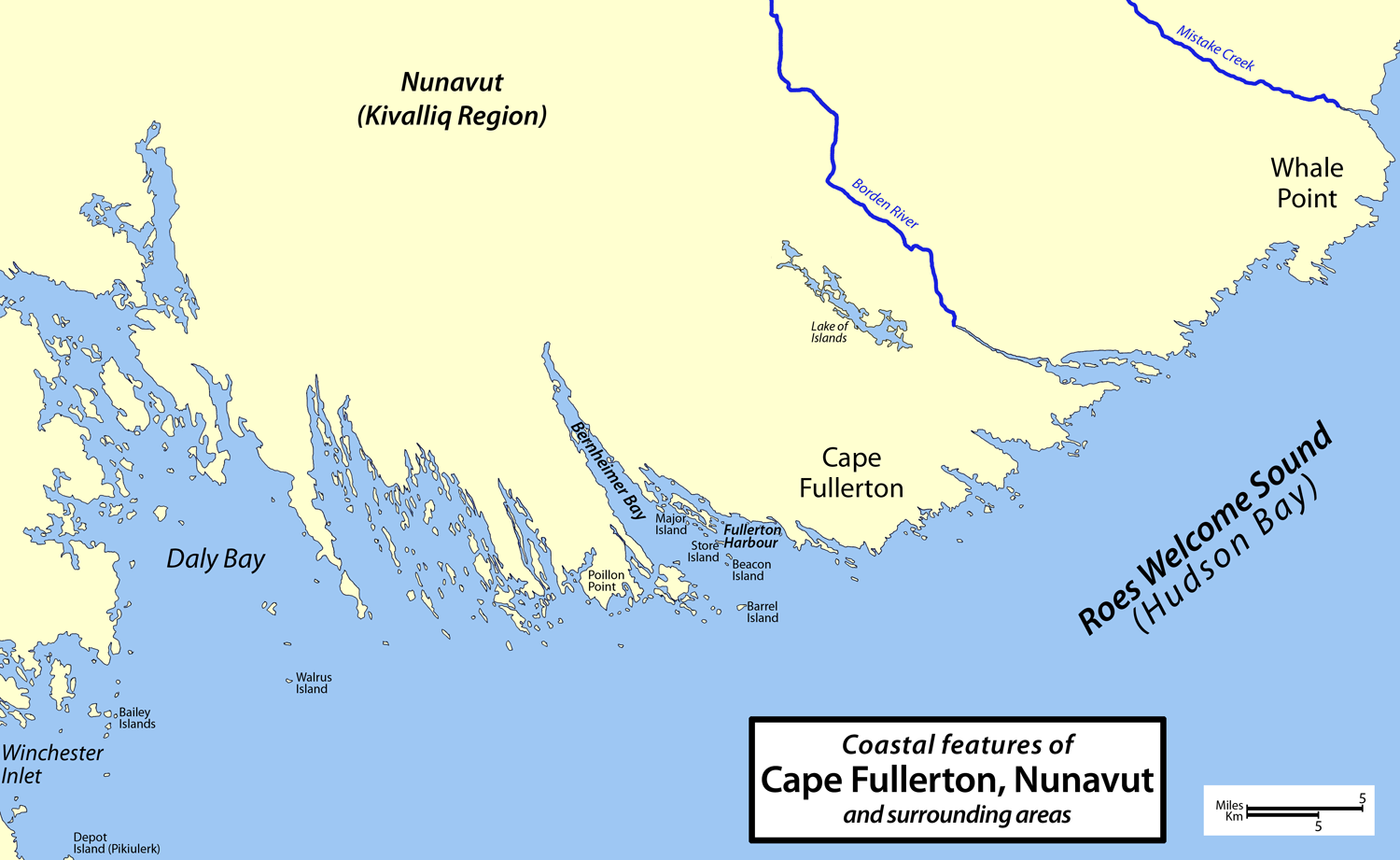
| Description | Map of Cape Fullerton, Nunavut, Canada and surrounding areas, including Whale Point, Daly Bay, Bernheimer Bay, Fullerton Harbour, Winchester Inlet, Depot Island (Pikiulerk), Bailey Islands, Walrus Island, Poillon Point, Major Island, Store Island, Beacon island, Barrel Island, Lake of Islands, Borden River, and Mistake Creek. |
| Date | |
| Source | Own work |
| Author | Cbaer |
Licensing[edit]
| I, the copyright holder of this work, release this work into the public domain. This applies worldwide. In some countries this may not be legally possible; if so: I grant anyone the right to use this work for any purpose, without any conditions, unless such conditions are required by law. |
File history
Click on a date/time to view the file as it appeared at that time.
| Date/Time | Thumbnail | Dimensions | User | Comment | |
|---|---|---|---|---|---|
| current | 11:21, 20 April 2008 | | 1,500 × 921 (372 KB) | Cbaer (talk | contribs) | {{Information |Description=Map of Cape Fullerton, Nunavut, Canada and surrounding areas |Source=self-made |Date=2008 |Author= Cbaer |Permission= |other_versions= }} |
You cannot overwrite this file.
File usage on Commons
The following page uses this file:
File usage on other wikis
The following other wikis use this file:
- Usage on arz.wikipedia.org
- Usage on ceb.wikipedia.org
- Usage on en.wikipedia.org
- Usage on www.wikidata.org