File:Cape Akrotiri Cyprus el.png
Jump to navigation
Jump to search
No higher resolution available.
Cape_Akrotiri_Cyprus_el.png (499 × 516 pixels, file size: 64 KB, MIME type: image/png)
Captions
Captions
Add a one-line explanation of what this file represents
Summary[edit]
| Description |
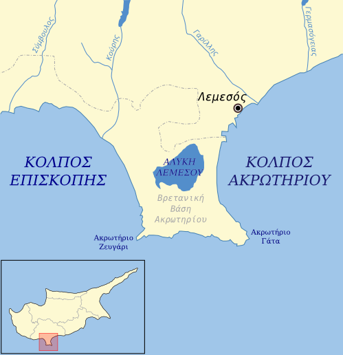
Ελληνικά: Χάρτης με το Ακρωτήρι Κύπρου και τις γύρω περιοχές. English: Map of the Akrotiri area in Cyprus, greek labels. |
| Date | |
| Source | File:Cyprus topographic towns and road map.jpg. The inset is derived from that map and File:Cyprus blank 1.svg |
| Author | Badseed |
| Other versions | language neutral |
Licensing[edit]
| I, the copyright holder of this work, release this work into the public domain. This applies worldwide. In some countries this may not be legally possible; if so: I grant anyone the right to use this work for any purpose, without any conditions, unless such conditions are required by law. |
File history
Click on a date/time to view the file as it appeared at that time.
| Date/Time | Thumbnail | Dimensions | User | Comment | |
|---|---|---|---|---|---|
| current | 10:53, 21 January 2009 | | 499 × 516 (64 KB) | Badseed (talk | contribs) | {{Information |Description={{el|Χάρτης με το Ακρωτήρι Κύπρου και τις γύρω περιοχές.}}{{en|Map of the Akrotiri area in Cyprus, greek labels.}} |Source=[[:File:Cyprus topograph |
You cannot overwrite this file.
File usage on Commons
There are no pages that use this file.
File usage on other wikis
The following other wikis use this file:
- Usage on ar.wikipedia.org
- Usage on ceb.wikipedia.org
- Usage on el.wikipedia.org
- Usage on en.wikipedia.org
- Usage on es.wikipedia.org
- Usage on hy.wikipedia.org
- Usage on id.wikipedia.org
- Usage on it.wikipedia.org
- Usage on nn.wikipedia.org
- Usage on ru.wikipedia.org
- Usage on sv.wikipedia.org
- Usage on www.wikidata.org