File:Canadian Rockies.png
Jump to navigation
Jump to search

Size of this preview: 635 × 600 pixels. Other resolutions: 254 × 240 pixels | 508 × 480 pixels | 813 × 768 pixels | 1,084 × 1,024 pixels | 1,383 × 1,306 pixels.
Original file (1,383 × 1,306 pixels, file size: 2.21 MB, MIME type: image/png)
Captions
Captions
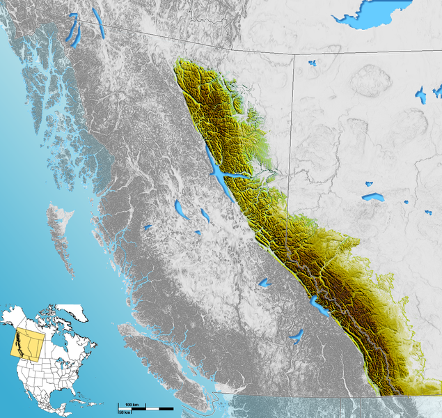
Shaded Relief map of the Canadian Rockies
Summary[edit]
| Description | Shaded Relief map of the Canadian Rockies |
| Date | |
| Source | USGS data |
| Author | Qyd |
| Permission (Reusing this file) |
All |
Licensing[edit]
| I, the copyright holder of this work, release this work into the public domain. This applies worldwide. In some countries this may not be legally possible; if so: I grant anyone the right to use this work for any purpose, without any conditions, unless such conditions are required by law. |
File history
Click on a date/time to view the file as it appeared at that time.
| Date/Time | Thumbnail | Dimensions | User | Comment | |
|---|---|---|---|---|---|
| current | 16:57, 21 September 2006 | | 1,383 × 1,306 (2.21 MB) | Qyd (talk | contribs) | add lakes and foothills |
| 21:49, 19 September 2006 |  | 1,383 × 1,306 (2.12 MB) | Qyd (talk | contribs) | outline only the canadian rockies | |
| 18:50, 25 July 2006 |  | 556 × 574 (753 KB) | Qyd (talk | contribs) | ||
| 18:01, 25 July 2006 |  | 375 × 389 (317 KB) | Qyd (talk | contribs) | {{Information |Description=Shaded Relief map of the Canadian Rockies |Source=USGS data |Date=July 2006 |Author=Qyd |Permission=All |other_versions= }} Category:Maps of British Columbia |
You cannot overwrite this file.
File usage on Commons
The following page uses this file:
File usage on other wikis
The following other wikis use this file:
- Usage on ar.wikipedia.org
- Usage on bg.wikipedia.org
- Usage on ca.wikipedia.org
- Usage on cs.wikipedia.org
- Usage on da.wikipedia.org
- Usage on de.wikipedia.org
- Usage on en.wikipedia.org
- Usage on en.wikibooks.org
- Usage on eo.wikipedia.org
- Usage on es.wikipedia.org
- Usage on fa.wikipedia.org
- Usage on fr.wikipedia.org
- Usage on he.wikipedia.org
- Usage on hr.wikipedia.org
- Usage on hy.wikipedia.org
- Usage on id.wikipedia.org
- Usage on it.wikipedia.org
- Usage on ja.wikipedia.org
- Usage on nl.wikipedia.org
- Usage on no.wikipedia.org
- Usage on pt.wikipedia.org
- Usage on ru.wikipedia.org
- Usage on sh.wikipedia.org
- Usage on simple.wikipedia.org
- Usage on sr.wikipedia.org
- Usage on sv.wikipedia.org
- Usage on uk.wikipedia.org
- Usage on vi.wikipedia.org
- Usage on zh.wikipedia.org