File:Canada Maritime provinces map.png
Jump to navigation
Jump to search
No higher resolution available.
Canada_Maritime_provinces_map.png (262 × 212 pixels, file size: 4 KB, MIME type: image/png)
Captions
Captions
Add a one-line explanation of what this file represents
| Description |
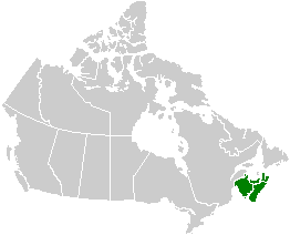
English: Map of the Maritime provinces. See Image:Canada provinces blank vide.png for additional information.
Français : Carte des provinces maritimes. Voir Image:Canada provinces blank vide.png pour de renseignements supplémentaires. |
|||
| Source | user created | |||
| Author | QuartierLatin1968 | |||
| Permission (Reusing this file) |
|
|||
| Other versions |
|


File history
Click on a date/time to view the file as it appeared at that time.
| Date/Time | Thumbnail | Dimensions | User | Comment | |
|---|---|---|---|---|---|
| current | 02:24, 24 September 2005 | | 262 × 212 (4 KB) | QuartierLatin1968 (talk | contribs) | * {{english}} Map of the Maritime provinces. See Image:Canada provinces blank vide.png for additional information. * {{français}} Carte des provinces maritimes. Voir Image:Canada provinces blank vide.png pour de renseignements supplémentaires. |
You cannot overwrite this file.
File usage on Commons
The following 2 pages use this file:
File usage on other wikis
The following other wikis use this file:
- Usage on en.wikipedia.org
- Usage on es.wikipedia.org
- Usage on fr.wikipedia.org