File:California State Route 173 - Eastern Barrier.jpg
Jump to navigation
Jump to search

Size of this preview: 800 × 600 pixels. Other resolutions: 320 × 240 pixels | 640 × 480 pixels | 1,024 × 768 pixels | 1,280 × 960 pixels | 2,560 × 1,920 pixels | 4,032 × 3,024 pixels.
Original file (4,032 × 3,024 pixels, file size: 7.43 MB, MIME type: image/jpeg)
Captions
Captions
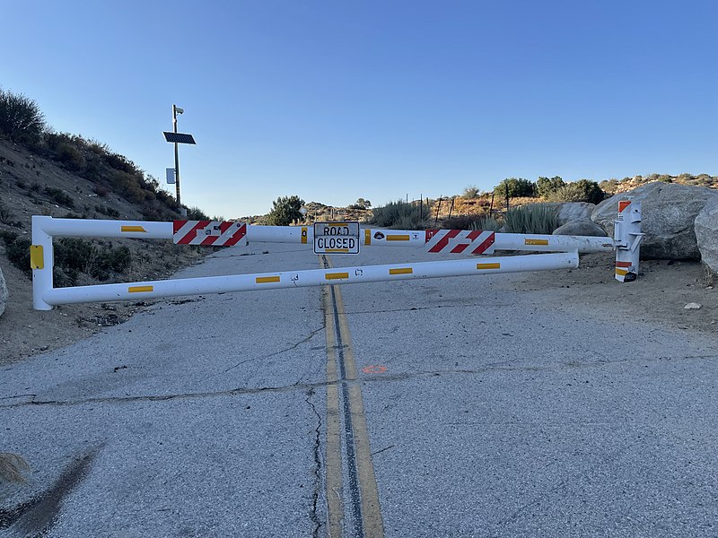
Eastern Barrier of the California State Route 173.
Summary[edit]
| Description |
English: Barrier at the East side of the California State Route 173. Image taken on Aug. 21/2022, 6:27 PM PDT. |
| Date | |
| Source | Own work |
| Author | Louis7892 |
| Camera location | | View this and other nearby images on: OpenStreetMap |
|---|
This barrier has been in existence since 2011. There used to be a "Truck Crossing" Sign in an Orange fade that was either removed or stolen.
Licensing[edit]
I, the copyright holder of this work, hereby publish it under the following license:
This file is licensed under the Creative Commons Attribution-Share Alike 4.0 International license.
- You are free:
- to share – to copy, distribute and transmit the work
- to remix – to adapt the work
- Under the following conditions:
- attribution – You must give appropriate credit, provide a link to the license, and indicate if changes were made. You may do so in any reasonable manner, but not in any way that suggests the licensor endorses you or your use.
- share alike – If you remix, transform, or build upon the material, you must distribute your contributions under the same or compatible license as the original.
File history
Click on a date/time to view the file as it appeared at that time.
| Date/Time | Thumbnail | Dimensions | User | Comment | |
|---|---|---|---|---|---|
| current | 03:17, 22 August 2022 | | 4,032 × 3,024 (7.43 MB) | Louis7892 (talk | contribs) | Uploaded own work with UploadWizard |
You cannot overwrite this file.
File usage on Commons
The following page uses this file:
File usage on other wikis
The following other wikis use this file:
- Usage on en.wikipedia.org