File:CORS spicewood lcrh.jpg
Jump to navigation
Jump to search
Size of this preview: 450 × 600 pixels. Other resolutions: 180 × 240 pixels | 360 × 480 pixels | 1,000 × 1,333 pixels.
Original file (1,000 × 1,333 pixels, file size: 450 KB, MIME type: image/jpeg)
Captions
Captions
Add a one-line explanation of what this file represents
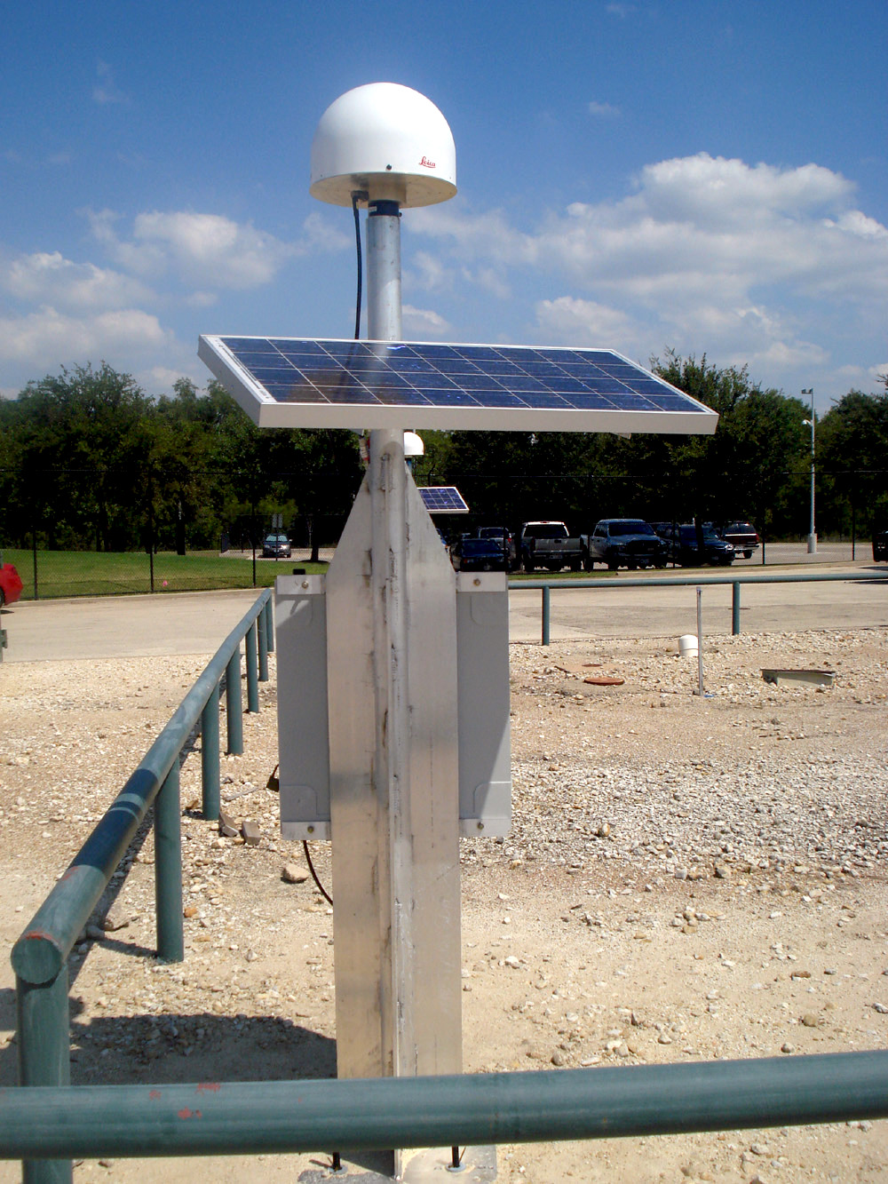
| Description | CORS Reference Station LCRH; Location: Spicewood, TX | |||
| Source | http://www.ngs.noaa.gov | |||
| Author | not credited. | |||
| Permission (Reusing this file) |
|
File history
Click on a date/time to view the file as it appeared at that time.
| Date/Time | Thumbnail | Dimensions | User | Comment | |
|---|---|---|---|---|---|
| current | 11:28, 20 June 2010 | | 1,000 × 1,333 (450 KB) | Alexrk2 (talk | contribs) | - |
| 23:07, 14 February 2010 |  | 1,000 × 1,333 (430 KB) | Alexrk2 (talk | contribs) | {{Information |Description=CORS Reference Station LCRH; Location: Spicewood, TX |Source=http://www.ngs.noaa.gov |Date= |Author=not credited. |Permission={{PD-USGov-DOC-NOAA}} |other_versions= }} Category:Geodesy Category:Geodesy |
You cannot overwrite this file.
File usage on Commons
The following 4 pages use this file:
File usage on other wikis
The following other wikis use this file:
- Usage on da.wikipedia.org
- Usage on de.wikipedia.org
- Usage on es.wikipedia.org
- Usage on fr.wikipedia.org
- Usage on hu.wikipedia.org
- Usage on ru.wikipedia.org
- Usage on www.wikidata.org