File:Buttahatchee River.jpg
Jump to navigation
Jump to search
No higher resolution available.
Buttahatchee_River.jpg (720 × 458 pixels, file size: 41 KB, MIME type: image/jpeg)
Captions
Captions
Add a one-line explanation of what this file represents
Summary[edit]
| Description | |
| Source | From site http://ahps.srh.noaa.gov/ahps2/hydrograph.php?wfo=meg&gage=abdm6&view=1,1,1,1,1,1. (File is http://ahps.srh.noaa.gov/images/ahps2/meg/abdm6/viewUS.jpg). |
| Author | NOAA |
| Camera location | | View this and other nearby images on: OpenStreetMap |
|---|
Licensing[edit]
This image is in the public domain because it contains materials that originally came from the U.S. National Oceanic and Atmospheric Administration, taken or made as part of an employee's official duties.
|
Original upload log[edit]
The original description page was here. All following user names refer to en.wikipedia.
| Date/Time | Dimensions | User | Comment |
|---|---|---|---|
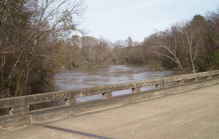
| 2006-01-07 23:47 | 720×458× (42204 bytes) | TimK MSI | The [[Buttahatchee River]] in [[Monroe County, Mississippi]]. From site http://ahps.srh.noaa.gov/ahps2/hydrograph.php?wfo=meg&gage=abdm6&view=1,1,1,1,1,1. (File is http://ahps.srh.noaa.gov/images/ahps2/meg/abdm6/viewUS.jpg). {{PD-USGov-DOC-NOAA}} |
File history
Click on a date/time to view the file as it appeared at that time.
| Date/Time | Thumbnail | Dimensions | User | Comment | |
|---|---|---|---|---|---|
| current | 18:15, 1 March 2017 | | 720 × 458 (41 KB) | Innotata (talk | contribs) | Transferred from en.wikipedia |
You cannot overwrite this file.
File usage on Commons
There are no pages that use this file.
File usage on other wikis
The following other wikis use this file:
- Usage on arz.wikipedia.org
- Usage on ceb.wikipedia.org
- Usage on en.wikipedia.org
- Usage on www.wikidata.org