File:Bus stop in Beaufort Street, Chelsea (geograph 2745752).jpg
Jump to navigation
Jump to search

Size of this preview: 800 × 600 pixels. Other resolutions: 320 × 240 pixels | 640 × 480 pixels | 1,024 × 768 pixels | 1,280 × 960 pixels | 2,560 × 1,920 pixels | 4,000 × 3,000 pixels.
Original file (4,000 × 3,000 pixels, file size: 3.34 MB, MIME type: image/jpeg)
Captions
Captions
Add a one-line explanation of what this file represents
Summary
[edit].jpg&action=edit§ion=1)
| Description |
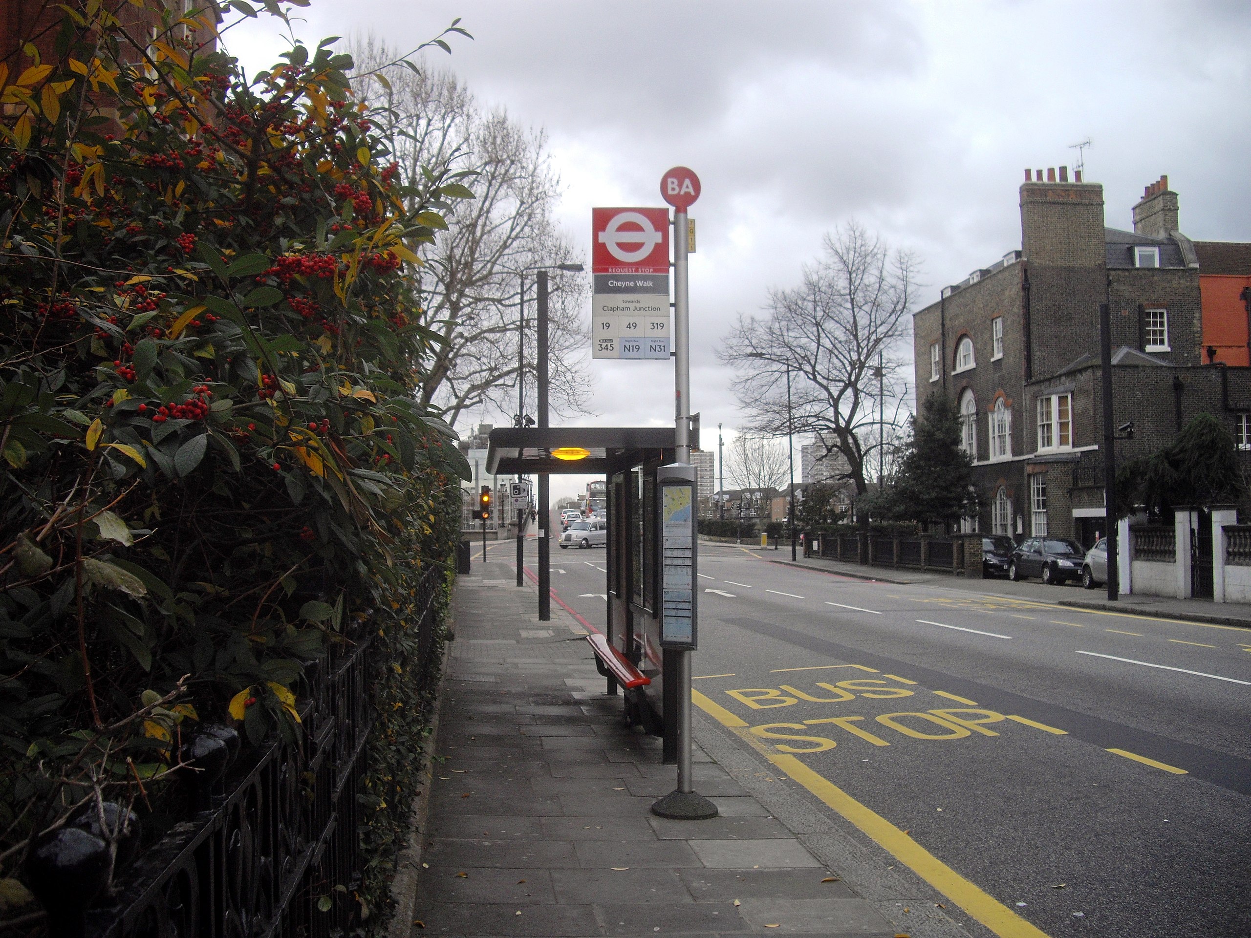
English: Bus stop in Beaufort Street, Chelsea |
| Date | |
| Source | From geograph.org.uk |
| Author | PAUL FARMER |
| Permission (Reusing this file) |
Creative Commons Attribution Share-alike license 2.0 |
| Attribution (required by the license) | PAUL FARMER / Bus stop in Beaufort Street, Chelsea / |
| Camera location | | View this and other nearby images on: OpenStreetMap |
|---|
.jpg¶ms=051.482958_N_-000.174583_E_globe:Earth_type:camera_source:geograph-osgb36(TQ26857758)_heading:135.00&language=en)
| Object location | | View this and other nearby images on: OpenStreetMap |
|---|
.jpg¶ms=051.482680_N_-000.174020_E_globe:Earth_class:object_type:object_source:geograph-osgb36(TQ26897755)_heading:135.00&language=en)
Licensing
[edit].jpg&action=edit§ion=2)

|
This image was taken from the Geograph project collection. See this photograph's page on the Geograph website for the photographer's contact details. The copyright on this image is owned by PAUL FARMER and is licensed for reuse under the Creative Commons Attribution-ShareAlike 2.0 license.
|
This file is licensed under the Creative Commons Attribution-Share Alike 2.0 Generic license.
Attribution: PAUL FARMER
- You are free:
- to share – to copy, distribute and transmit the work
- to remix – to adapt the work
- Under the following conditions:
- attribution – You must give appropriate credit, provide a link to the license, and indicate if changes were made. You may do so in any reasonable manner, but not in any way that suggests the licensor endorses you or your use.
- share alike – If you remix, transform, or build upon the material, you must distribute your contributions under the same or compatible license as the original.
File history
Click on a date/time to view the file as it appeared at that time.
| Date/Time | Thumbnail | Dimensions | User | Comment | |
|---|---|---|---|---|---|
| current | 18:31, 19 April 2018 | | 4,000 × 3,000 (3.34 MB) | Belbury (talk | contribs) | Transferred from geograph.co.uk using [https://tools.wmflabs.org/geograph2commons/ geograph2commons] |
You cannot overwrite this file.
File usage on Commons
The following page uses this file:
File usage on other wikis
The following other wikis use this file:
- Usage on en.wikipedia.org
- Usage on www.wikidata.org
Metadata
.jpg&oldid=839606334)
Categories:
- Beaufort Street, Chelsea
- Bus stops in the Royal Borough of Kensington and Chelsea
- London Buses route 19 stops
- London Buses route 49 stops
- London Buses route 319 stops
- London Buses route 345 stops
- London Buses route N19 stops
- London Buses route N31 stops
- December 2011 in London
- 2011 in the Royal Borough of Kensington and Chelsea
- Buildings in London photographed in 2011