File:Buildings along Texas State Highway 20 in Fort Hancock, Texas.jpg
Jump to navigation
Jump to search

Size of this preview: 799 × 340 pixels. Other resolutions: 320 × 136 pixels | 640 × 272 pixels | 1,024 × 436 pixels | 1,280 × 545 pixels | 3,092 × 1,316 pixels.
Original file (3,092 × 1,316 pixels, file size: 3.05 MB, MIME type: image/jpeg)
Captions
Captions
Add a one-line explanation of what this file represents
Summary[edit]
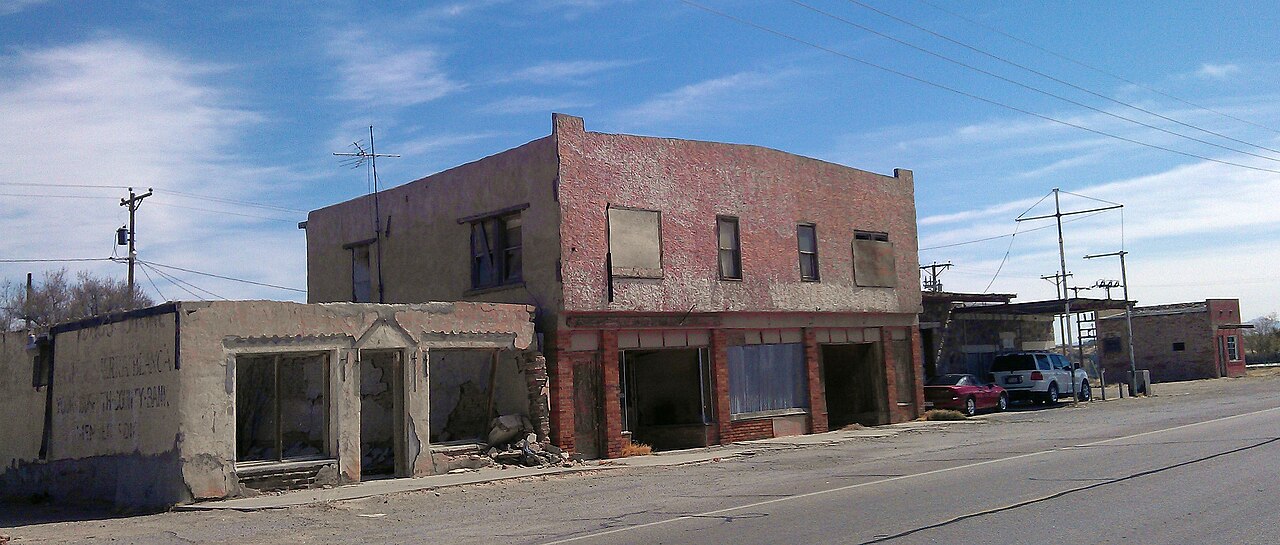
| Description | Buildings along Texas State Highway 20 in Fort Hancock, Texas. |
| Date | |
| Source | IMAG0680 |
| Author | bugflickr |
| Camera location | | View this and other nearby images on: OpenStreetMap |
|---|
Licensing[edit]
This file is licensed under the Creative Commons Attribution-Share Alike 2.0 Generic license.
- You are free:
- to share – to copy, distribute and transmit the work
- to remix – to adapt the work
- Under the following conditions:
- attribution – You must give appropriate credit, provide a link to the license, and indicate if changes were made. You may do so in any reasonable manner, but not in any way that suggests the licensor endorses you or your use.
- share alike – If you remix, transform, or build upon the material, you must distribute your contributions under the same or compatible license as the original.
| This image was originally posted to Flickr by bugflickr at https://www.flickr.com/photos/8229215@N07/8579093094. It was reviewed on 13 July 2015 by FlickreviewR and was confirmed to be licensed under the terms of the cc-by-sa-2.0. |
File history
Click on a date/time to view the file as it appeared at that time.
| Date/Time | Thumbnail | Dimensions | User | Comment | |
|---|---|---|---|---|---|
| current | 19:05, 13 July 2015 | | 3,092 × 1,316 (3.05 MB) | Magnolia677 (talk | contribs) | cropped and brightened |
| 03:47, 13 July 2015 |  | 3,264 × 1,840 (1.08 MB) | Magnolia677 (talk | contribs) | {{Information |Description=Buildings along Texas State Highway 20 in Fort Hancock, Texas. |Source=[https://www.flickr.com/photos/ladyjove/8579093094/ IMAG0680] |Date=2013-03-21 11:36 |Author=[https://www.flickr.com/people/8229215@N07 bugflickr] |Permis... |
You cannot overwrite this file.
File usage on Commons
The following page uses this file:
File usage on other wikis
The following other wikis use this file:
- Usage on ar.wikipedia.org
- Usage on arz.wikipedia.org
- Usage on azb.wikipedia.org
- Usage on ca.wikipedia.org
- Usage on ceb.wikipedia.org
- Usage on ce.wikipedia.org
- Usage on en.wikipedia.org
- Usage on es.wikipedia.org
- Usage on eu.wikipedia.org
- Usage on fa.wikipedia.org
- Usage on fr.wikipedia.org
- Usage on ht.wikipedia.org
- Usage on lld.wikipedia.org
- Usage on pl.wikipedia.org
- Usage on pt.wikipedia.org
- Usage on simple.wikipedia.org
- Usage on sr.wikipedia.org
- Usage on tt.wikipedia.org
- Usage on uk.wikipedia.org
- Usage on vi.wikipedia.org
- Usage on www.wikidata.org
- Usage on zh-min-nan.wikipedia.org
- Usage on zh.wikipedia.org