File:Buildings 3 (grist mill) and 5 (stone distillery) of the Distillery District.jpg
Jump to navigation
Jump to search

Size of this preview: 755 × 599 pixels. Other resolutions: 302 × 240 pixels | 605 × 480 pixels | 967 × 768 pixels | 1,280 × 1,016 pixels | 2,560 × 2,033 pixels | 4,198 × 3,333 pixels.
Original file (4,198 × 3,333 pixels, file size: 6.51 MB, MIME type: image/jpeg)
Captions
Captions
Add a one-line explanation of what this file represents
Summary[edit]
_and_5_(stone_distillery)_of_the_Distillery_District.jpg&action=edit§ion=1)
| Description |
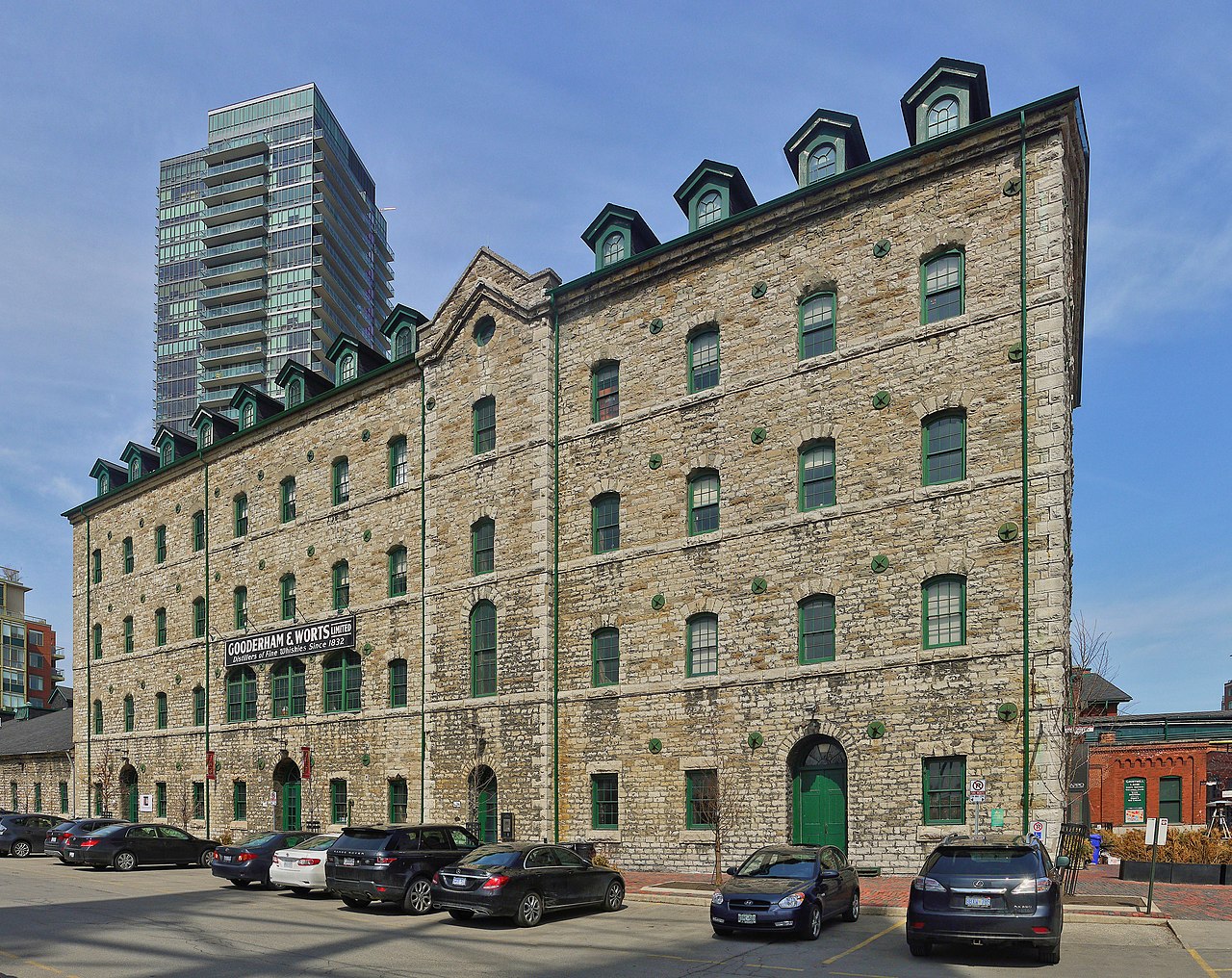
English: Buildings 3 (grist mill) and 5 (stone distillery) of the Distillery District. |
||
| Date | |||
| Source |
Own work This image was created with Hugin. |
||
| Author | Óðinn | ||
| Permission (Reusing this file) |
This file is licensed under the Creative Commons Attribution-Share Alike 2.5 Canada license.

|
||
This photo is of a cultural heritage site in Canada, number 1195
|
| Camera location | | View this and other nearby images on: OpenStreetMap |
|---|
_and_5_(stone_distillery)_of_the_Distillery_District.jpg¶ms=043.649534_N_-079.359752_E_globe:Earth_type:camera__&language=en)
File history
Click on a date/time to view the file as it appeared at that time.
| Date/Time | Thumbnail | Dimensions | User | Comment | |
|---|---|---|---|---|---|
| current | 01:45, 15 December 2019 | | 4,198 × 3,333 (6.51 MB) | The Cosmonaut (talk | contribs) | Relit |
| 05:42, 2 December 2015 |  | 4,198 × 3,333 (4.97 MB) | The Cosmonaut (talk | contribs) | size | |
| 02:01, 2 December 2015 |  | 5,182 × 4,114 (6.91 MB) | The Cosmonaut (talk | contribs) | == {{int:filedesc}} == {{Information |Description= {{en|Buildings 3 (grist mill) and 5 (stone distillery) of the Distillery District.}} |Source={{own}}{{hugin}} |Date= 2015-04-03 |Author= Óðinn |Permis... |
You cannot overwrite this file.
File usage on Commons
The following page uses this file:
_and_5_(stone_distillery)_of_the_Distillery_District.jpg&oldid=837034636)