File:Brownsover Lane (near disused canal) - geograph.org.uk - 1762169.jpg
Jump to navigation
Jump to search

Size of this preview: 799 × 600 pixels. Other resolutions: 320 × 240 pixels | 640 × 480 pixels | 922 × 692 pixels.
Original file (922 × 692 pixels, file size: 186 KB, MIME type: image/jpeg)
Captions
Captions
Add a one-line explanation of what this file represents
Summary[edit]
_-_geograph.org.uk_-_1762169.jpg&action=edit§ion=1)
| Description |
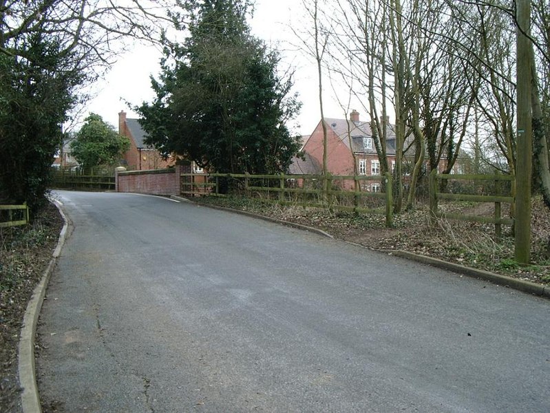
English: Brownsover Lane (near disused canal) View from road of new housing (built in last 5 to 10 years) on side of disused canal, off Brownsover Lane.
Break in fence on right, takes you down to the canal towpath back towards Leicester Road. To the left is a path to the canal towpath running north towards Cosford. The area behind this photo appears to be a country park. |
| Date | |
| Source | From geograph.org.uk |
| Author | Michael Westley |
| Attribution (required by the license) | Michael Westley / Brownsover Lane (near disused canal) / |
| Camera location | | View this and other nearby images on: OpenStreetMap |
|---|
_-_geograph.org.uk_-_1762169.jpg¶ms=052.392790_N_-001.257900_E_globe:Earth_type:camera_source:geograph-osgb36(SP50597745)_heading:135.00&language=en)
| Object location | | View this and other nearby images on: OpenStreetMap |
|---|
_-_geograph.org.uk_-_1762169.jpg¶ms=052.392150_N_-001.256900_E_globe:Earth_class:object_type:object_source:geograph-osgb36(SP50667738)_heading:135.00&language=en)
Licensing[edit]
_-_geograph.org.uk_-_1762169.jpg&action=edit§ion=2)

|
This image was taken from the Geograph project collection. See this photograph's page on the Geograph website for the photographer's contact details. The copyright on this image is owned by Michael Westley and is licensed for reuse under the Creative Commons Attribution-ShareAlike 2.0 license.
|
This file is licensed under the Creative Commons Attribution-Share Alike 2.0 Generic license.
Attribution: Michael Westley
- You are free:
- to share – to copy, distribute and transmit the work
- to remix – to adapt the work
- Under the following conditions:
- attribution – You must give appropriate credit, provide a link to the license, and indicate if changes were made. You may do so in any reasonable manner, but not in any way that suggests the licensor endorses you or your use.
- share alike – If you remix, transform, or build upon the material, you must distribute your contributions under the same or compatible license as the original.
File history
Click on a date/time to view the file as it appeared at that time.
| Date/Time | Thumbnail | Dimensions | User | Comment | |
|---|---|---|---|---|---|
| current | 20:32, 11 March 2011 | | 922 × 692 (186 KB) | GeographBot (talk | contribs) | == {{int:filedesc}} == {{Information |description={{en|1=Brownsover Lane (near disused canal) View from road of new housing (built in last 5 to 10 years) on side of disused canal, off Brownsover Lane. Break in fence on right, takes you down to the cana |
You cannot overwrite this file.
File usage on Commons
There are no pages that use this file.
_-_geograph.org.uk_-_1762169.jpg&oldid=835445082)