File:Bremen 1796 Murtfeldt.jpg
Jump to navigation
Jump to search

Size of this preview: 800 × 531 pixels. Other resolutions: 320 × 213 pixels | 640 × 425 pixels | 1,024 × 680 pixels | 1,280 × 850 pixels | 2,560 × 1,700 pixels | 5,481 × 3,640 pixels.
Original file (5,481 × 3,640 pixels, file size: 16.82 MB, MIME type: image/jpeg)
Captions
Captions
Add a one-line explanation of what this file represents
Summary[edit]
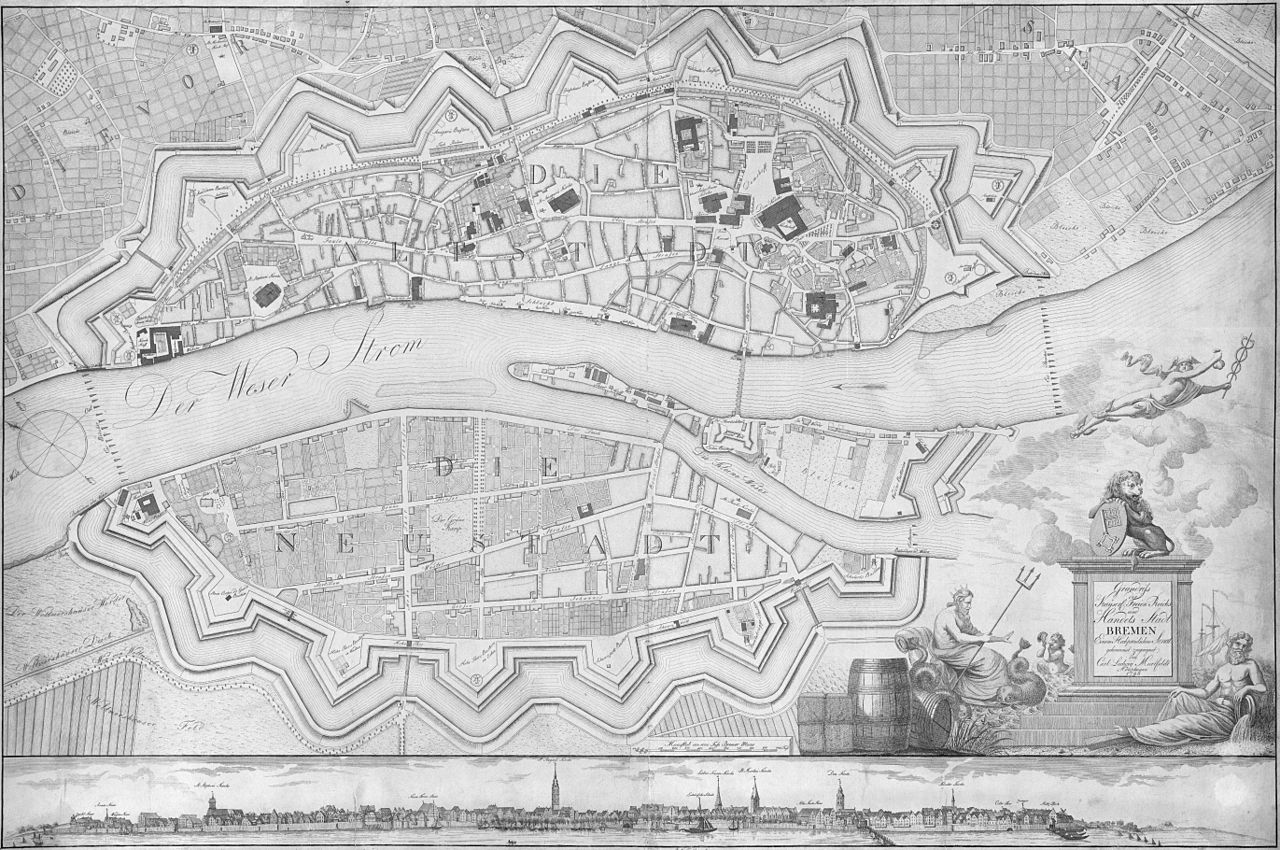
| Description | Stadtplan von Bremen aus dem Jahr 1796 von Carl Ludwig Murtfeldt, Originaltitel: Grundriſs der Kayserl. Freien Reichs und Handels Stadt Bremen; Achtung: Die Karte wurde in vier Teilen gescannt und dann aus vier Dateien wieder zusammengefügt. Dadurch ist die Darstellung der Weser in der linken Kartenhälfte vertikal etwas gestaucht. |
| Date | original print 1796, scan 2014-01-26, upload 2015-01-27 |
| Source | Reprint des Plans im Bremer Staatsarchiv |
| Author | de:Carl Ludwig Murtfeldt, scan & upload Ulamm (talk) |
| Other versions |
|
Licensing[edit]
|
This work is in the public domain in its country of origin and other countries and areas where the copyright term is the author's life plus 100 years or fewer. | |
| This file has been identified as being free of known restrictions under copyright law, including all related and neighboring rights. | |
}}
File history
Click on a date/time to view the file as it appeared at that time.
| Date/Time | Thumbnail | Dimensions | User | Comment | |
|---|---|---|---|---|---|
| current | 22:58, 3 February 2015 | | 5,481 × 3,640 (16.82 MB) | Ulamm (talk | contribs) | left upper corner better |
| 00:18, 27 January 2015 |  | 5,481 × 3,640 (16.84 MB) | Ulamm (talk | contribs) | {{Information {{Information |Description=Stadtplan von Bremen aus dem Jahr 1796 von Carl Ludwig Murtfeldt, Originaltitel: ''Grundriſs der Kayserl. Freien Reichs und Handels Stadt Bremen'' |Source=Reprint des Plans im Bremer Staatsarchiv |Date=original... |
You cannot overwrite this file.
File usage on Commons
The following page uses this file:
File usage on other wikis
The following other wikis use this file: