File:Borneo-H.jpg
Jump to navigation
Jump to search
Size of this preview: 589 × 599 pixels. Other resolutions: 236 × 240 pixels | 472 × 480 pixels | 755 × 768 pixels | 1,007 × 1,024 pixels | 1,848 × 1,880 pixels.
Original file (1,848 × 1,880 pixels, file size: 576 KB, MIME type: image/jpeg)
Captions
Captions
Add a one-line explanation of what this file represents
| Description |
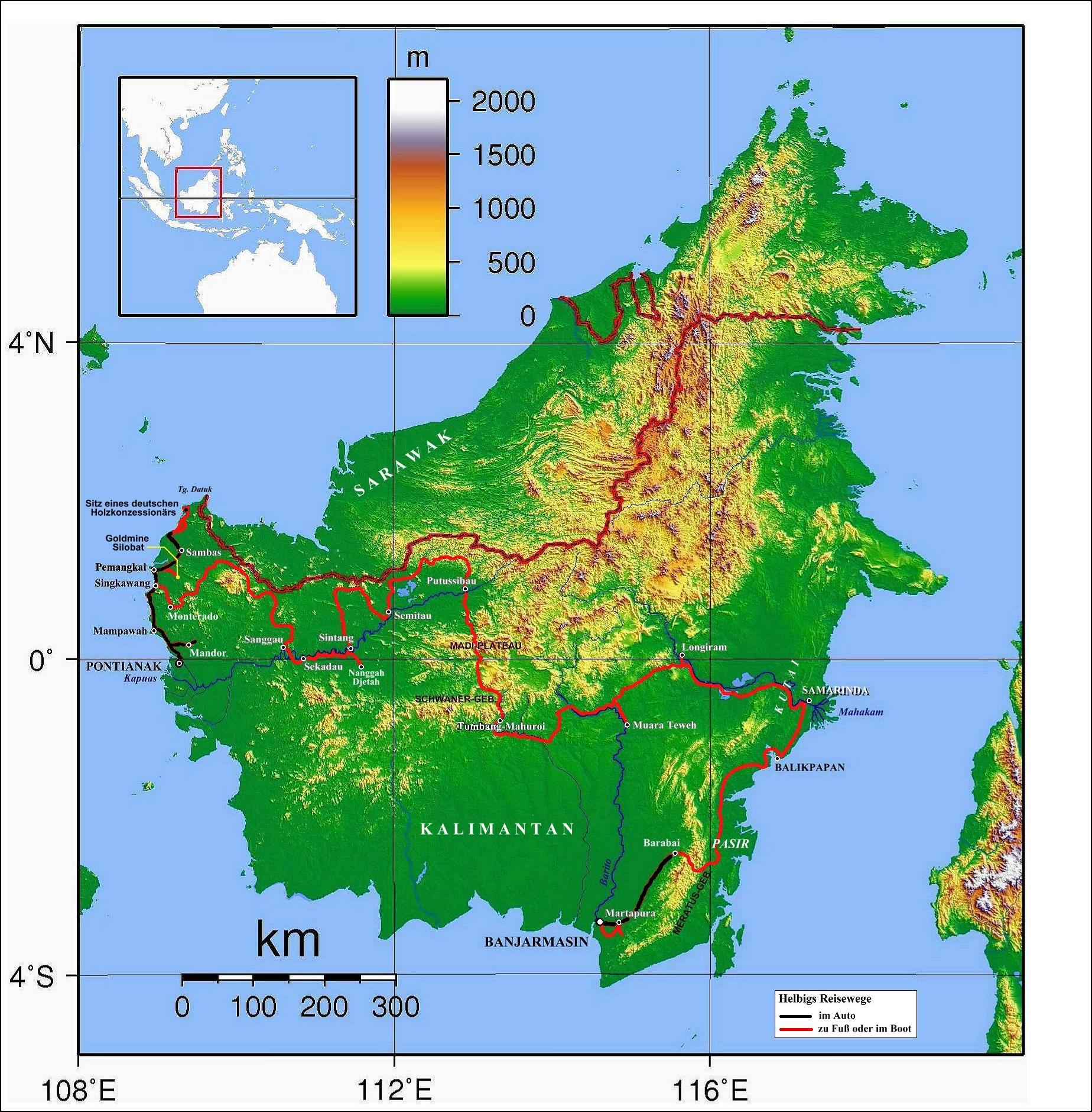
English: Topographic map of Borneo. Created with GMT from publicly released SRTM data
|
| Date | 2007/2008 |
| Source | derivative of Image:Borneo Topography.png by Geoethno (transferred from de:Image:Borneo-H.jpg) |
| Author | Sadalmelik, Geoethno |
Licensing[edit]
Geoethno at the German language Wikipedia, the copyright holder of this work, hereby publishes it under the following licenses:
This file is licensed under the Creative Commons Attribution-Share Alike 1.0 Generic license.
Attribution: Geoethno at the German language Wikipedia
- You are free:
- to share – to copy, distribute and transmit the work
- to remix – to adapt the work
- Under the following conditions:
- attribution – You must give appropriate credit, provide a link to the license, and indicate if changes were made. You may do so in any reasonable manner, but not in any way that suggests the licensor endorses you or your use.
- share alike – If you alter, transform, or build upon this work, you must distribute the resulting work under the same license as the original.

|
Permission is granted to copy, distribute and/or modify this document under the terms of the GNU Free Documentation License, Version 1.2 or any later version published by the Free Software Foundation; with no Invariant Sections, no Front-Cover Texts, and no Back-Cover Texts. A copy of the license is included in the section entitled GNU Free Documentation License. |
| This file is licensed under the Creative Commons Attribution-Share Alike 3.0 Unported license. | ||
| Attribution: Geoethno at the German language Wikipedia | ||
| ||
| This licensing tag was added to this file as part of the GFDL licensing update. |
You may select the license of your choice.
Original upload log[edit]
The original description page was here. All following user names refer to de.wikipedia.
- 2008-04-14 11:12 Geoethno 1848×1880× (589619 bytes) {{Information |Beschreibung = Topographic map of Borneo. Created with GMT from publicly released SRTM data. - Ergänzungen durch geoethno |Quelle = http://commons.wikimedia.org/wiki/Image:Borneo_Topography.png |Urheber = Sadalmelik. Ergänzungen von Geoet
- 2008-04-13 12:24 Geoethno 1799×1898× (566240 bytes) {{Information |Beschreibung = Topographic map of Sumatra. Created with GMT from publicly released SRTM data. - Ergänzungen durch geoethno |Quelle = http://commons.wikimedia.org/wiki/Image:Borneo_Topography.png |Urheber = Sadalmelik, geoethno |Datum = 20
File history
Click on a date/time to view the file as it appeared at that time.
| Date/Time | Thumbnail | Dimensions | User | Comment | |
|---|---|---|---|---|---|
| current | 18:51, 11 October 2008 | | 1,848 × 1,880 (576 KB) | File Upload Bot (Magnus Manske) (talk | contribs) | {{BotMoveToCommons|de.wikipedia}} {{Information |Description={{de|Topographic map of Borneo. Created with GMT from publicly released SRTM data. - Ergänzungen durch geoethno}} |Source=Transferred from [http://de.wikipedia.org de.wikipedia]; transferred |
You cannot overwrite this file.
File usage on Commons
There are no pages that use this file.
File usage on other wikis
The following other wikis use this file:
- Usage on de.wikipedia.org
- Usage on en.wikipedia.org
- Usage on id.wikipedia.org
- Usage on it.wikipedia.org
- Usage on nl.wikipedia.org