File:Blank US map 1864.svg
Jump to navigation
Jump to search

Size of this PNG preview of this SVG file: 600 × 387 pixels. Other resolutions: 320 × 206 pixels | 640 × 413 pixels | 1,024 × 660 pixels | 1,280 × 826 pixels | 2,560 × 1,651 pixels.
Original file (SVG file, nominally 600 × 387 pixels, file size: 56 KB)
Captions
Captions
Add a one-line explanation of what this file represents
| Description |
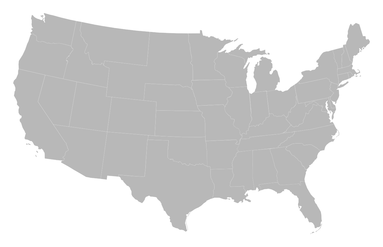
English: A blank map of the territory of the United States with borders of 1864.
Deutsch: Karte des Gebiets der Vereinigten Staaten mit den Grenzen von 1864. |
| Date | |
| Source | Alteration of Blank US Map.svg under usage of 1864_Electoral_Map.png |
| Author |
|
| Other versions | Derivative works of this file: 13th amendment ratification.svg |
I, the copyright holder of this work, hereby publish it under the following licenses:
| This file is licensed under the Creative Commons Attribution-Share Alike 3.0 Unported license. | ||
| ||
| This licensing tag was added to this file as part of the GFDL licensing update. |

|
Permission is granted to copy, distribute and/or modify this document under the terms of the GNU Free Documentation License, Version 1.2 or any later version published by the Free Software Foundation; with no Invariant Sections, no Front-Cover Texts, and no Back-Cover Texts. A copy of the license is included in the section entitled GNU Free Documentation License. |
You may select the license of your choice.
File history
Click on a date/time to view the file as it appeared at that time.
| Date/Time | Thumbnail | Dimensions | User | Comment | |
|---|---|---|---|---|---|
| current | 20:55, 9 October 2011 | | 600 × 387 (56 KB) | Master Uegly (talk | contribs) | {{Information |Description ={{en|1=A blank map of the territory of the United States with borders of 1864.}} {{de|1=Karte des Gebiets der Vereinigten Staaten mit den Grenzen von 1864.}} |Source =Alteration of [[:File:Blank US Map.svg|Blank US M |
You cannot overwrite this file.
File usage on Commons
The following page uses this file: