File:BlankMap-World-with-Equator.svg
Jump to navigation
Jump to search

Size of this PNG preview of this SVG file: 800 × 411 pixels. Other resolutions: 320 × 164 pixels | 640 × 329 pixels | 1,024 × 526 pixels | 1,280 × 657 pixels | 2,560 × 1,314 pixels.
Original file (SVG file, nominally 2,560 × 1,314 pixels, file size: 1.06 MB)
Captions
Captions
Add a one-line explanation of what this file represents

| Description |
|
||
| Date | |||
| Source |
|
||
| Author | Derivative work of BlankMap-World.svg | ||
| Permission (Reusing this file) |
|
||
| SVG development |
Original upload log[edit]
This image is a derivative work of the following images:
- Image:BlankMap-World.svg licensed with PD-self
- 2008-12-02T18:21:18Z Lokal Profil 940x415 (1518276 Bytes) Reverted to version as of 14:51, 13 June 2008, new image has non of the complexity (i.e. colouring abilities etc.) of the old
- 2008-12-02T17:29:39Z Harbin 1326x601 (176022 Bytes)
- 2008-12-02T17:26:08Z Harbin 1425x625 (189017 Bytes)
- 2008-06-13T14:51:25Z Lokal Profil 940x415 (1518276 Bytes) Syncing with [[:Image:BlankMap-World6.svg]] version (01:30, March 29, 2008). Sadly enough the validator does not seem to like rdf element of the metadata although it should work acording to http://www.w3schools.com/rdf/rdf_ma
- 2008-02-08T20:55:35Z CarolSpears 940x415 (1528750 Bytes) validated, maybe
- 2007-12-14T19:51:17Z Lokal Profil 940x415 (1529675 Bytes) Readded an ocean object but this one is square instead of the original elliptic one
- 2007-12-14T19:19:56Z Lokal Profil 940x415 (1529845 Bytes) {{Information |Description=Detailed SVG map with grouping enabled to connect all non-contiguous parts of a country's territory for easy colouring. Smaller countries can also be represented by larger circles to show their data
File history
Click on a date/time to view the file as it appeared at that time.
| Date/Time | Thumbnail | Dimensions | User | Comment | |
|---|---|---|---|---|---|
| current | 22:16, 13 March 2019 | | 2,560 × 1,314 (1.06 MB) | Cherkash (talk | contribs) | Reverted to version as of 00:05, 11 February 2019 (UTC) reverted an arbitrary drive-by revert |
| 23:52, 8 March 2019 |  | 940 × 415 (1.47 MB) | Dim Grits (talk | contribs) | Reverted to version as of 18:33, 27 December 2008 (UTC) | |
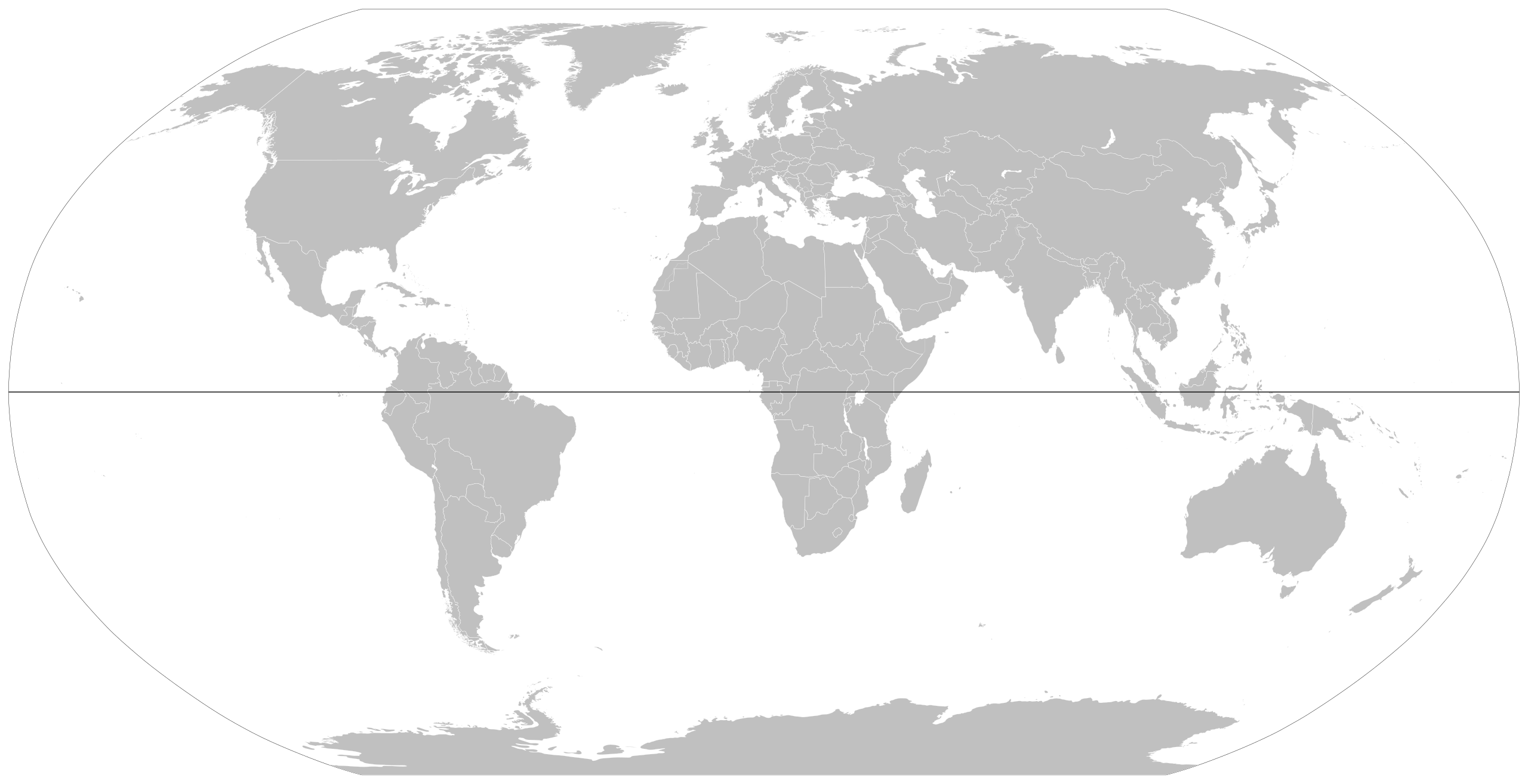
| 00:05, 11 February 2019 |  | 2,560 × 1,314 (1.06 MB) | Cherkash (talk | contribs) | updated based on the latest version of the main blank world map (File:BlankMap-World.svg) | |
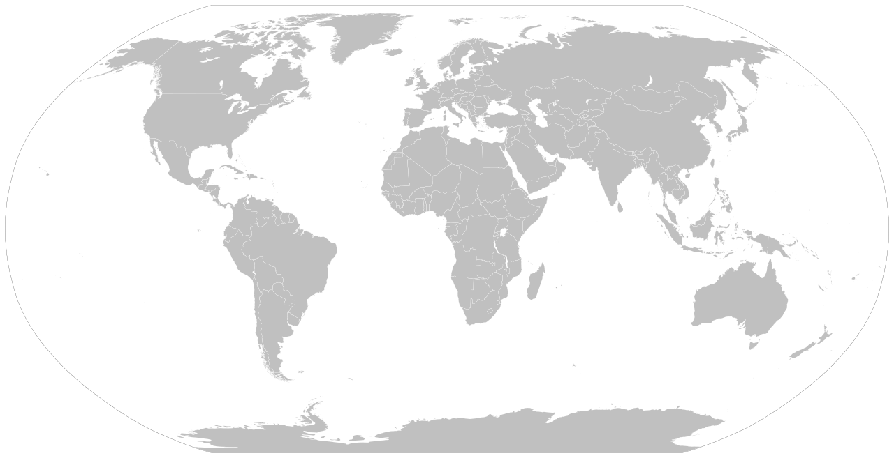
| 18:33, 27 December 2008 |  | 940 × 415 (1.47 MB) | Nakor (talk | contribs) | {{Information |Description= *{{en|World map showing equator.}} *{{fr|Carte du monde montrant la l'équateur.}} |Source= World map showing equator line |Source=*Image:BlankMap-World6,_compact.svg |Date=2008-12-27 18:26 (UTC) |Author=*derivative work: |
You cannot overwrite this file.
File usage on Commons
The following 2 pages use this file:
- Equator
- File:Compact world map with equator.svg (file redirect)
File usage on other wikis
The following other wikis use this file:
- Usage on he.wikipedia.org