File:Bihar Community Development Block (Anumandal) Boundaries.svg
Jump to navigation
Jump to search

Size of this PNG preview of this SVG file: 559 × 403 pixels. Other resolutions: 320 × 231 pixels | 640 × 461 pixels | 1,024 × 738 pixels | 1,280 × 923 pixels | 2,560 × 1,846 pixels.
Original file (SVG file, nominally 559 × 403 pixels, file size: 792 KB)
Captions
Captions
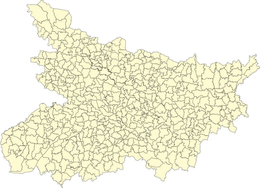
Blank map of Community Development or Anumandal Boundaries of the state of Bihar in India.
Summary[edit]
_Boundaries.svg&action=edit§ion=1)
| Description |
Español: Mapa de los bordes Anumandal o bordes del Desarollo Communal (CD) sin marcas en el estado de Bihar en la India. |
| Date | |
| Source | https://livingatlas-dcdev.opendata.arcgis.com/datasets/5df74cdf05e4428e89462b31353386e8/explore |
| Author | Esri India |
Licensing[edit]
_Boundaries.svg&action=edit§ion=2)
This file is licensed under the Creative Commons Attribution-Share Alike 4.0 International license.
- You are free:
- to share – to copy, distribute and transmit the work
- to remix – to adapt the work
- Under the following conditions:
- attribution – You must give appropriate credit, provide a link to the license, and indicate if changes were made. You may do so in any reasonable manner, but not in any way that suggests the licensor endorses you or your use.
- share alike – If you remix, transform, or build upon the material, you must distribute your contributions under the same or compatible license as the original.
File history
Click on a date/time to view the file as it appeared at that time.
| Date/Time | Thumbnail | Dimensions | User | Comment | |
|---|---|---|---|---|---|
| current | 18:41, 11 December 2023 | | 559 × 403 (792 KB) | Dumplinboy45 (talk | contribs) | Uploaded a work by Esri India from https://livingatlas-dcdev.opendata.arcgis.com/datasets/5df74cdf05e4428e89462b31353386e8/explore with UploadWizard |
You cannot overwrite this file.
File usage on Commons
There are no pages that use this file.
_Boundaries.svg&oldid=866322575)