File:Berlin Brandenburger Tor BW 2 Ausschnitt.jpg
Jump to navigation
Jump to search

Size of this preview: 679 × 599 pixels. Other resolutions: 272 × 240 pixels | 544 × 480 pixels | 870 × 768 pixels | 1,160 × 1,024 pixels | 1,890 × 1,668 pixels.
Original file (1,890 × 1,668 pixels, file size: 1.14 MB, MIME type: image/jpeg)
Captions
Captions
Add a one-line explanation of what this file represents
Summary[edit]
| Description |
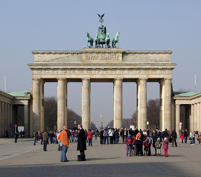
Deutsch: Berlin, Brandenburger Tor von Osten
English: Berlin, Brandenburg Gate, eastside |
| Date | |
| Source | Own work |
| Author | Berthold Werner |
| Camera location | | View this and other nearby images on: OpenStreetMap |
|---|
Licensing[edit]
I, the copyright holder of this work, hereby publish it under the following license:
This file is licensed under the Creative Commons Attribution-Share Alike 3.0 Unported license.
- You are free:
- to share – to copy, distribute and transmit the work
- to remix – to adapt the work
- Under the following conditions:
- attribution – You must give appropriate credit, provide a link to the license, and indicate if changes were made. You may do so in any reasonable manner, but not in any way that suggests the licensor endorses you or your use.
- share alike – If you remix, transform, or build upon the material, you must distribute your contributions under the same or compatible license as the original.
File history
Click on a date/time to view the file as it appeared at that time.
| Date/Time | Thumbnail | Dimensions | User | Comment | |
|---|---|---|---|---|---|
| current | 06:47, 24 February 2016 | | 1,890 × 1,668 (1.14 MB) | Berthold Werner (talk | contribs) | User created page with UploadWizard |
You cannot overwrite this file.
File usage on Commons
The following 8 pages use this file:
File usage on other wikis
The following other wikis use this file:
- Usage on da.wikipedia.org
- Wallraf-Richartz-Museum
- Wartburg
- Deutsche Oper Berlin
- Staatsoper Unter den Linden
- Altona-Kieler Eisenbahn-Gesellschaft
- Siegessäule
- Olympiastadion (Berlin)
- Deutsche Bank Park
- RheinEnergieStadion
- Haubarg
- Saksergård
- Hohenstauferne
- Günther Lütjens
- München-massakren
- Spandau-fængslet
- Schmalkaldiske forbund
- Philip 1. af Hessen
- Rigsstand
- Husum Slot
- Commerzbank-Tower
- Messeturm
- Wormskonkordatet
- Flossenbürg koncentrationslejr
- Ravensbrück koncentrationslejr
- Guillaume-skandalen
- Pariser Platz
- Schloss Neuschwanstein
- Markgreve
- Burggraf
- Gott mit uns
- Børnelejr Rühen
- Mittelbau-Dora koncentrationslejr
- Fuhlsbüttel (fængsel)
- Sporvognsmuseum Bremen
- Sporvognsmuseum Kassel
- Frankfurterparlamentet
- Friedrichsruh (Drage)
- Potsdamer Stadtschloss
- Neues Palais
- Schloss Köpenick
- Tysk Østafrikanske Kompagni
- Sylte-urolighederne
- Reric
- Akademie der Künste
- Park Inn by Radisson Berlin Alexanderplatz
- Bemyndigelsesloven
- Mindesmærke for Europas myrdede jøder
- Borgruinen Velburg
- Holländerwindmühle Koßdorf
- Mühlberg Elbebrücke
View more global usage of this file.