File:Benjamin Harrison grave - June 2016 - Ken Ratcliff 01.jpg
Jump to navigation
Jump to search

Size of this preview: 800 × 545 pixels. Other resolutions: 320 × 218 pixels | 640 × 436 pixels | 1,024 × 698 pixels | 1,280 × 872 pixels | 2,876 × 1,960 pixels.
Original file (2,876 × 1,960 pixels, file size: 4.21 MB, MIME type: image/jpeg)
Captions
Captions
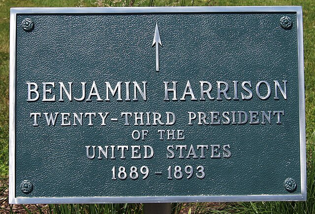
Benjamin Harrison grave
Summary[edit]
| Description |
English: Benjamin Harrison grave |
| Date | |
| Source | https://www.flickr.com/photos/kenspix/51284713360/ |
| Author | Ken Ratcliff |
| Camera location | | View this and other nearby images on: OpenStreetMap |
|---|
Licensing[edit]
This file is licensed under the Creative Commons Attribution 2.0 Generic license.
- You are free:
- to share – to copy, distribute and transmit the work
- to remix – to adapt the work
- Under the following conditions:
- attribution – You must give appropriate credit, provide a link to the license, and indicate if changes were made. You may do so in any reasonable manner, but not in any way that suggests the licensor endorses you or your use.
| This image was originally posted to Flickr by ken ratcliff at https://flickr.com/photos/95212304@N00/51284713360. It was reviewed on 29 January 2022 by FlickreviewR 2 and was confirmed to be licensed under the terms of the cc-by-2.0. |
File history
Click on a date/time to view the file as it appeared at that time.
| Date/Time | Thumbnail | Dimensions | User | Comment | |
|---|---|---|---|---|---|
| current | 23:06, 29 January 2022 | | 2,876 × 1,960 (4.21 MB) | Missvain (talk | contribs) | Uploaded a work by Ken Ratcliff from https://www.flickr.com/photos/kenspix/51284713360/ with UploadWizard |
You cannot overwrite this file.
File usage on Commons
There are no pages that use this file.