File:Basel 2012-10-06 Batch Part 5 (101).JPG
Jump to navigation
Jump to search
Size of this preview: 449 × 599 pixels. Other resolutions: 180 × 240 pixels | 360 × 480 pixels | 575 × 768 pixels | 767 × 1,024 pixels | 2,401 × 3,204 pixels.
Original file (2,401 × 3,204 pixels, file size: 749 KB, MIME type: image/jpeg)
Captions
Captions
Add a one-line explanation of what this file represents
Summary[edit]
| Description |
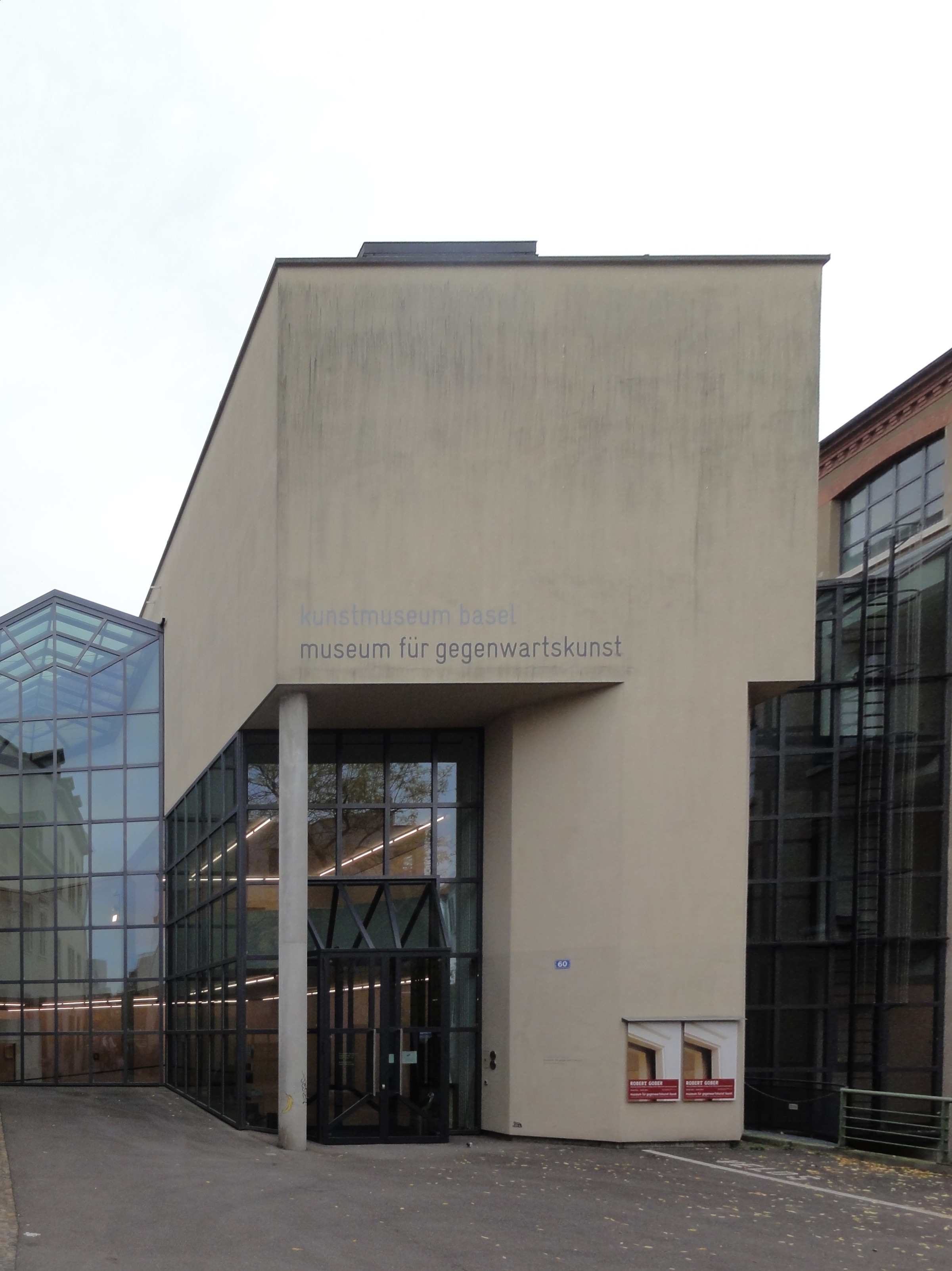
Basel — St. Alban-Rheinweg 60 Deutsch: Museum für Gegenwartskunst |
| Date | Taken on 6 October 2012 |
| Source | Self-photographed |
| Author | User:Mattes |
| Camera location | | View this and other nearby images on: OpenStreetMap |
|---|
EXIF data with GPS coordinates and mag. north. GPS data may be inaccurate.
This file was uploaded with Commonist.
Licensing[edit]
This file is licensed under the Creative Commons Attribution 2.0 Germany license.
- You are free:
- to share – to copy, distribute and transmit the work
- to remix – to adapt the work
- Under the following conditions:
- attribution – You must give appropriate credit, provide a link to the license, and indicate if changes were made. You may do so in any reasonable manner, but not in any way that suggests the licensor endorses you or your use.

|
According to article 27 of the Copyright Act (en/de/fr/it), works installed at or on publicly accessible places or ground may be pictured, and such pictures may be offered for sale, sold, transmitted, or otherwise published. The image must not be three-dimensional and it must not be possible to use the picture for the same purpose as the original.
The works must be permanently installed, but for the purposes of the law, "permanent" means a fixed installation which may be temporary -- time limited -- but not "accidental", e.g. due to transport of the work. For more information, see COM:CRT/Switzerland#Freedom of panorama.
|

.JPG&action=edit§ion=1)
.JPG¶ms=047.554523_N_0007.601641_E_globe:Earth_type:camera__&language=en)
.JPG&action=edit§ion=2)
File history
Click on a date/time to view the file as it appeared at that time.
| Date/Time | Thumbnail | Dimensions | User | Comment | |
|---|---|---|---|---|---|
| current | 19:10, 12 April 2013 | | 2,401 × 3,204 (749 KB) | François de Dijon (talk | contribs) | correction des perspectives |
| 13:27, 11 October 2012 |  | 2,736 × 3,648 (2.63 MB) | Mattes (talk | contribs) |
You cannot overwrite this file.
File usage on Commons
The following 3 pages use this file:
File usage on other wikis
The following other wikis use this file:
- Usage on als.wikipedia.org
- Usage on arz.wikipedia.org
- Usage on de.wikipedia.org
- Usage on de.wikivoyage.org
- Usage on es.wikipedia.org
- Usage on he.wikipedia.org
- Usage on he.wikivoyage.org
- Usage on hy.wikipedia.org
- Usage on it.wikivoyage.org
- Usage on ru.wikipedia.org
- Usage on www.wikidata.org
- Usage on zh.wikipedia.org
.JPG&oldid=867679122)