File:Ballygawley, County Sligo - geograph.org.uk - 1829977.jpg
Jump to navigation
Jump to search

Size of this preview: 800 × 459 pixels. Other resolutions: 320 × 183 pixels | 640 × 367 pixels | 1,024 × 587 pixels | 1,280 × 734 pixels | 2,560 × 1,468 pixels | 3,888 × 2,229 pixels.
Original file (3,888 × 2,229 pixels, file size: 3.52 MB, MIME type: image/jpeg)
Captions
Captions
Add a one-line explanation of what this file represents
Summary[edit]
| Description |
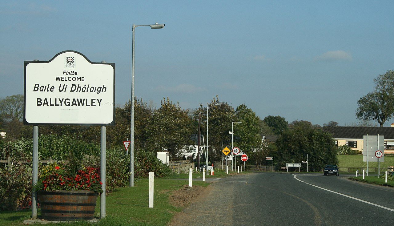
English: Ballygawley, County Sligo, near to Ballygawley, Doonally and Castletown, Sligo, Ireland.
The R290 approaches the R284. |
| Date | |
| Source | From geograph.org.uk; transferred by User:Lvova using geograph_org2commons. |
| Author | Sarah777 |
| Permission (Reusing this file) |
Creative Commons Attribution Share-alike license 2.0 |
| Camera location | | View this and other nearby images on: OpenStreetMap |
|---|
| Object location | | View this and other nearby images on: OpenStreetMap |
|---|
_region:IE_heading:67.00&language=en)
Licensing[edit]

|
This image was taken from the Geograph project collection. See this photograph's page on the Geograph website for the photographer's contact details. The copyright on this image is owned by Sarah777 and is licensed for reuse under the Creative Commons Attribution-ShareAlike 2.0 license.
|
This file is licensed under the Creative Commons Attribution-Share Alike 2.0 Generic license.
Attribution: Sarah777
- You are free:
- to share – to copy, distribute and transmit the work
- to remix – to adapt the work
- Under the following conditions:
- attribution – You must give appropriate credit, provide a link to the license, and indicate if changes were made. You may do so in any reasonable manner, but not in any way that suggests the licensor endorses you or your use.
- share alike – If you remix, transform, or build upon the material, you must distribute your contributions under the same or compatible license as the original.
File history
Click on a date/time to view the file as it appeared at that time.
| Date/Time | Thumbnail | Dimensions | User | Comment | |
|---|---|---|---|---|---|
| current | 12:49, 2 September 2010 | | 3,888 × 2,229 (3.52 MB) | File Upload Bot (Magnus Manske) (talk | contribs) | == {{int:filedesc}} == {{Information |Description={{en|1=Ballygawley, County Sligo, near to Ballygawley, Doonally</b> and Castletown, Sligo, Ireland. The R290 approaches the R284.}} |Source=From [http://www.geograph.org.uk/photo/1829977 geograph.org.uk]; |
You cannot overwrite this file.
File usage on Commons
The following page uses this file:
File usage on other wikis
The following other wikis use this file:
- Usage on ceb.wikipedia.org
- Usage on en.wikipedia.org
- Usage on es.wikipedia.org
- Usage on ru.wikipedia.org
- Usage on sv.wikipedia.org
- Usage on www.wikidata.org
Metadata
Categories:
- Ballygawley, County Sligo
- Road signs in County Sligo
- October 2007 in Ireland
- Bilingual English-Irish signs in Ireland
- Bilingual welcome signs in Ireland
- Bilingual place name signs in Ireland
- 2007 in County Sligo
- Irish-language road signs
- T-junction warning road signs in Ireland
- Stop signs in Ireland
- English-language welcome signs
- Irish-language welcome signs