File:Baker Street - geograph.org.uk - 610893.jpg
Jump to navigation
Jump to search
No higher resolution available.
Baker_Street_-_geograph.org.uk_-_610893.jpg (640 × 480 pixels, file size: 76 KB, MIME type: image/jpeg)
Captions
Captions
Add a one-line explanation of what this file represents
Summary
[edit]
| Description |
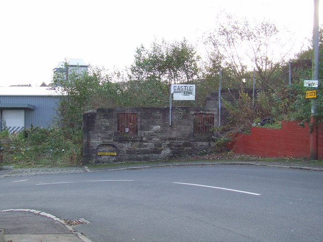
English: Baker Street. This sharp bend is at the top of Baker Street where it becomes Drumfrochar Road. The remains of the Ardgowan Distillery building, with bars still in the windows, can be seen. This building was burned to the ground during the "Great Conflagration" of 1903. See newspaper reports of the time here http://www.graeme.kirkwood.btinternet.co.uk/SFB/Greenock/1903.htm
See also 610897 and 610903. |
| Date | |
| Source | From geograph.org.uk |
| Author | Thomas Nugent |
| Attribution (required by the license) | Thomas Nugent / Baker Street / |
| Camera location | | View this and other nearby images on: OpenStreetMap |
|---|
_heading:135.00&language=en)
| Object location | | View this and other nearby images on: OpenStreetMap |
|---|
_heading:135.00&language=en)
Licensing
[edit]

|
This image was taken from the Geograph project collection. See this photograph's page on the Geograph website for the photographer's contact details. The copyright on this image is owned by Thomas Nugent and is licensed for reuse under the Creative Commons Attribution-ShareAlike 2.0 license.
|
This file is licensed under the Creative Commons Attribution-Share Alike 2.0 Generic license.
Attribution: Thomas Nugent
- You are free:
- to share – to copy, distribute and transmit the work
- to remix – to adapt the work
- Under the following conditions:
- attribution – You must give appropriate credit, provide a link to the license, and indicate if changes were made. You may do so in any reasonable manner, but not in any way that suggests the licensor endorses you or your use.
- share alike – If you remix, transform, or build upon the material, you must distribute your contributions under the same or compatible license as the original.
File history
Click on a date/time to view the file as it appeared at that time.
| Date/Time | Thumbnail | Dimensions | User | Comment | |
|---|---|---|---|---|---|
| current | 01:55, 7 February 2011 | | 640 × 480 (76 KB) | GeographBot (talk | contribs) | == {{int:filedesc}} == {{Information |description={{en|1=Baker Street This sharp bend is at the top of Baker Street where it becomes Drumfrochar Road. The remains of the Ardgowan Distillery building, with bars still in the windows, can be seen. This build |
You cannot overwrite this file.
File usage on Commons
There are no pages that use this file.
File usage on other wikis
The following other wikis use this file:
- Usage on en.wikipedia.org