File:Bajor utca 4, 2018 Rákospalota.jpg

Original file (2,272 × 1,704 pixels, file size: 1 MB, MIME type: image/jpeg)
Captions
Captions
Summary[edit]
| Description |
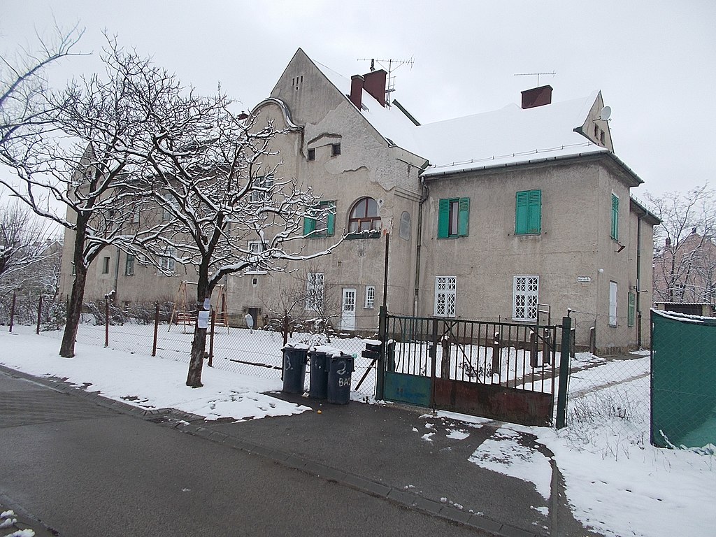
English: : MÁV Railstaff Colony (or simply MÁV Colony HU: MÁV-telep). Listed area. ID: -8424. - Loc.: 4 Bajor street, Rákospalota neighborhood, 15th District of Budapest. Magyar: : MÁV Vasutastelep: M3 autópálya (80735/7 hrsz.), közterület - Rákos út - Wesselényi utca - Vasutastelep utca - Széchenyi út. Műemléki azonosító -8424. - Budapest, XV. kerület, Rákospalota negyed, MÁV-telep, Bajor utca 4
|
||
| Date | |||
| Source | Own work | ||
| Author | Globetrotter19 |
| Object location | | View this and other nearby images on: OpenStreetMap |
|---|
| Camera location | | View this and other nearby images on: OpenStreetMap |
|---|
Licensing[edit]
- You are free:
- to share – to copy, distribute and transmit the work
- to remix – to adapt the work
- Under the following conditions:
- attribution – You must give appropriate credit, provide a link to the license, and indicate if changes were made. You may do so in any reasonable manner, but not in any way that suggests the licensor endorses you or your use.
- share alike – If you remix, transform, or build upon the material, you must distribute your contributions under the same or compatible license as the original.
File history
Click on a date/time to view the file as it appeared at that time.
| Date/Time | Thumbnail | Dimensions | User | Comment | |
|---|---|---|---|---|---|
| current | 22:46, 23 March 2018 | | 2,272 × 1,704 (1 MB) | Globetrotter19 (talk | contribs) | User created page with UploadWizard |
You cannot overwrite this file.
File usage on Commons
The following page uses this file:
File usage on other wikis
The following other wikis use this file:
- Usage on hu.wikipedia.org
Metadata
This file contains additional information such as Exif metadata which may have been added by the digital camera, scanner, or software program used to create or digitize it. If the file has been modified from its original state, some details such as the timestamp may not fully reflect those of the original file. The timestamp is only as accurate as the clock in the camera, and it may be completely wrong.
| Camera manufacturer | NIKON | ||||||||||
|---|---|---|---|---|---|---|---|---|---|---|---|
| Camera model | COOLPIX L29 | ||||||||||
| Exposure time | 1/125 sec (0.008) | ||||||||||
| F-number | f/8 | ||||||||||
| ISO speed rating | 80 | ||||||||||
| Date and time of data generation | 11:25, 18 March 2018 | ||||||||||
| Lens focal length | 4.6 mm | ||||||||||
| Short title |
| ||||||||||
| Orientation | Normal | ||||||||||
| Horizontal resolution | 300 dpi | ||||||||||
| Vertical resolution | 300 dpi | ||||||||||
| Software used | COOLPIX L29 V1.0 | ||||||||||
| File change date and time | 11:25, 18 March 2018 | ||||||||||
| Y and C positioning | Co-sited | ||||||||||
| Exposure Program | Normal program | ||||||||||
| Exif version | 2.3 | ||||||||||
| Date and time of digitizing | 11:25, 18 March 2018 | ||||||||||
| Meaning of each component |
| ||||||||||
| Image compression mode | 2 | ||||||||||
| APEX exposure bias | 0 | ||||||||||
| Maximum land aperture | 3.4 APEX (f/3.25) | ||||||||||
| Metering mode | Pattern | ||||||||||
| Light source | Unknown | ||||||||||
| Flash | Flash did not fire, auto mode | ||||||||||
| Supported Flashpix version | 1 | ||||||||||
| Color space | sRGB | ||||||||||
| File source | Digital still camera | ||||||||||
| Scene type | A directly photographed image | ||||||||||
| Custom image processing | Normal process | ||||||||||
| Exposure mode | Auto exposure | ||||||||||
| White balance | Auto white balance | ||||||||||
| Digital zoom ratio | 0 | ||||||||||
| Focal length in 35 mm film | 26 mm | ||||||||||
| Scene capture type | Standard | ||||||||||
| Scene control | Low gain up | ||||||||||
| Contrast | Normal | ||||||||||
| Saturation | Normal | ||||||||||
| Sharpness | Normal | ||||||||||
| Subject distance range | Unknown |