File:BYU 54, Tulane University 3, Louisiana Superdome, New Orleans, Louisiana (3937801921).jpg

Original file (2,816 × 2,112 pixels, file size: 2.9 MB, MIME type: image/jpeg)
Captions
Captions
Summary[edit]
.jpg&action=edit§ion=1)
| Description |
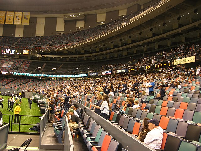
The Mercedes-Benz Superdome (originally Louisiana Superdome and commonly The Superdome) is a domed sports and exhibition venue, located in the Central Business District of New Orleans, Louisiana, USA. Plans were drawn up in 1967, by the New Orleans modernist architectural firm of Curtis and Davis. Its steel frame covers a 13-acre (5.3 ha) expanse. Its 273-foot (83 m) dome is made of a lamellar multi-ringed frame and has a diameter of 680 feet (210 m), making it the largest fixed domed structure in the world. It is adjacent to the New Orleans Arena. Because of the size and location in one of the major tourist destinations in the United States, the Superdome routinely makes the "short list" of candidates being considered for major sporting events, such as the Super Bowl and the Final Four. It is the home stadium of the New Orleans Saints American football team. In 2005, the Superdome gained international attention of a different type when it housed thousands of people seeking shelter from Hurricane Katrina. The building suffered extensive damage as a result of the storm, and was closed for many months afterward. <a href="http://en.wikipedia.org/wiki/Mercedes-Benz_Superdome" rel="nofollow">en.wikipedia.org/wiki/Mercedes-Benz_Superdome</a> <a href="http://en.wikipedia.org/wiki/Wikipedia:Text_of_Creative_Commons_Attribution-ShareAlike_3.0_Unported_License" rel="nofollow">en.wikipedia.org/wiki/Wikipedia:Text_of_Creative_Commons_...</a> |
| Date | |
| Source | BYU 54, Tulane University 3, Louisiana Superdome, New Orleans, Louisiana |
| Author | Ken Lund from Reno, Nevada, USA |
| Camera location | | View this and other nearby images on: OpenStreetMap |
|---|
.jpg¶ms=029.951225_N_-090.081464_E_globe:Earth_type:camera_source:Flickr_&language=en)
Licensing[edit]
.jpg&action=edit§ion=2)
- You are free:
- to share – to copy, distribute and transmit the work
- to remix – to adapt the work
- Under the following conditions:
- attribution – You must give appropriate credit, provide a link to the license, and indicate if changes were made. You may do so in any reasonable manner, but not in any way that suggests the licensor endorses you or your use.
- share alike – If you remix, transform, or build upon the material, you must distribute your contributions under the same or compatible license as the original.
| This image was originally posted to Flickr by Ken Lund at https://flickr.com/photos/75683070@N00/3937801921 (archive). It was reviewed on 10 January 2019 by FlickreviewR 2 and was confirmed to be licensed under the terms of the cc-by-sa-2.0. |
File history
Click on a date/time to view the file as it appeared at that time.
| Date/Time | Thumbnail | Dimensions | User | Comment | |
|---|---|---|---|---|---|
| current | 02:24, 10 January 2019 | | 2,816 × 2,112 (2.9 MB) | SecretName101 (talk | contribs) | Transferred from Flickr via #flickr2commons |
You cannot overwrite this file.
File usage on Commons
There are no pages that use this file.
.jpg&oldid=828987557)