File:BC-relief.png
Jump to navigation
Jump to search

Size of this preview: 585 × 599 pixels. Other resolutions: 234 × 240 pixels | 469 × 480 pixels | 659 × 675 pixels.
Original file (659 × 675 pixels, file size: 605 KB, MIME type: image/png)
Captions
Captions
Add a one-line explanation of what this file represents
Summary[edit]
| Description |
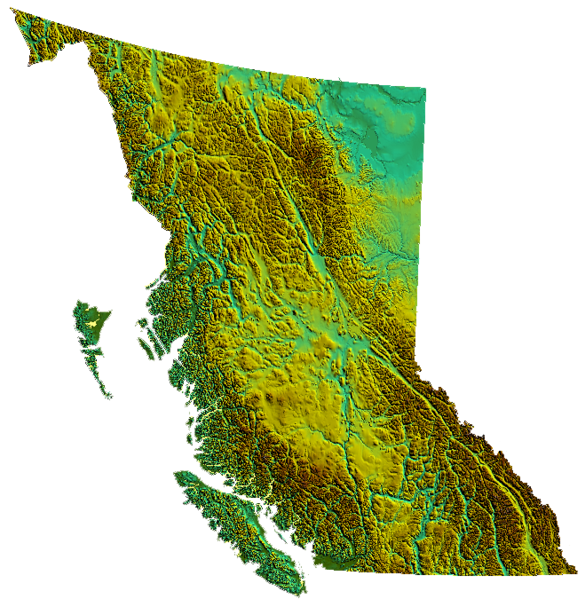
relief of British Columbia, Canada produced from USGS data |
| Date | 31 March 2006 (original upload date) |
| Source | No machine-readable source provided. Own work assumed (based on copyright claims). |
| Author | No machine-readable author provided. Qyd assumed (based on copyright claims). |
Licensing[edit]
| I, the copyright holder of this work, release this work into the public domain. This applies worldwide. In some countries this may not be legally possible; if so: I grant anyone the right to use this work for any purpose, without any conditions, unless such conditions are required by law. |
File history
Click on a date/time to view the file as it appeared at that time.
| Date/Time | Thumbnail | Dimensions | User | Comment | |
|---|---|---|---|---|---|
| current | 01:39, 4 November 2006 | | 659 × 675 (605 KB) | Qyd (talk | contribs) | transparent background |
| 02:01, 31 March 2006 |  | 659 × 675 (536 KB) | Qyd (talk | contribs) | relief of British Columbia, Canada |
You cannot overwrite this file.
File usage on Commons
The following 2 pages use this file:
File usage on other wikis
The following other wikis use this file:
- Usage on as.wikipedia.org
- Usage on bcl.wikipedia.org
- Usage on de.wikipedia.org
- Usage on en.wikipedia.org
- British Columbia
- Coombs, British Columbia
- Mount Kain
- Della Falls
- Regional District of Kootenay Boundary
- Eagle Pass (British Columbia)
- Cameron Bar Indian Reserve No. 13
- Mount McGuire (Alberta)
- Mount King Edward
- King Edward Peak
- Flores Island (British Columbia)
- Ball Range
- 105 Mile Post Indian Reserve No. 2
- Madeira Park
- Queen Charlotte Sound (Canada)
- Nootka Island
- Beatrice Peak
- Isabelle Peak
- Duke Point, British Columbia
- Haiduk Peak
- Kinney Lake
- Spanish Bonk
- Mount Cornwell (Canada)
- Laidlaw, British Columbia
- Pearse Island
- Portland Canal
- President Range
- Swartz Bay
- Regional district
- Regional District of Central Kootenay
- Regional District of Bulkley-Nechako
- Greendale, Chilliwack
- Cowichan Valley
- Saltair, British Columbia
- Mount Macdonald
- Basque, British Columbia
- Oweekeno
- Rivers Inlet
- Clark Range (Canada)
- Kaien Island
- Mount Field (British Columbia)
- Skaha Bluffs
- Okanagan—Revelstoke
- Capilano (electoral district)
- North Vancouver—Burnaby
- Okanagan North (federal electoral district)
- Surrey—White Rock—North Delta
View more global usage of this file.