File:Błotnica disambig 2009.jpg
Jump to navigation
Jump to search
Size of this preview: 447 × 599 pixels. Other resolutions: 179 × 240 pixels | 597 × 800 pixels.
Original file (597 × 800 pixels, file size: 203 KB, MIME type: image/jpeg)
Captions
Captions
Add a one-line explanation of what this file represents
Summary[edit]
| Description |
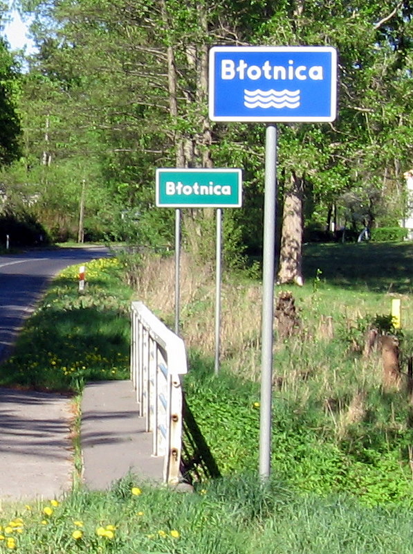
English: Road signs in Poland. City limit sign, river road sign (znak F-4].
Polski: Tablice informacyjne - rzeki Błotnicy i wsi Błotnica w woj. zachodniopomorskim. |
||||
| Date | |||||
| Source | Own work | ||||
| Author | JDavid | ||||
| Permission (Reusing this file) |
public domain | ||||
| Other versions |
|
Licensing[edit]
| I, the copyright holder of this work, release this work into the public domain. This applies worldwide. In some countries this may not be legally possible; if so: I grant anyone the right to use this work for any purpose, without any conditions, unless such conditions are required by law. |
File history
Click on a date/time to view the file as it appeared at that time.
| Date/Time | Thumbnail | Dimensions | User | Comment | |
|---|---|---|---|---|---|
| current | 18:42, 10 May 2009 | | 597 × 800 (203 KB) | JDavid (talk | contribs) | {{Information |Description={{pl|1=Tablice informacyjne - rzeki Błotnicy i wsi Błotnica w woj. zachodniopomorskim}} |Source=Praca własna osoby przesyłającej (own work by uploader) |Author=JDavid |Date=2009-05-02 |Permission={{Location| |
You cannot overwrite this file.
File usage on Commons
The following page uses this file:
File usage on other wikis
The following other wikis use this file:
- Usage on ceb.wikipedia.org
- Usage on ce.wikipedia.org
- Usage on de.wikipedia.org
- Usage on fr.wikipedia.org
- Usage on pl.wikipedia.org
- Usage on tt.wikipedia.org
- Usage on uk.wikipedia.org
- Usage on vi.wikipedia.org
- Usage on www.wikidata.org