File:Avrupa harita 1648.png
Jump to navigation
Jump to search
Size of this preview: 800 × 577 pixels. Other resolutions: 320 × 231 pixels | 640 × 462 pixels | 1,024 × 739 pixels | 1,280 × 924 pixels | 1,894 × 1,367 pixels.
Original file (1,894 × 1,367 pixels, file size: 195 KB, MIME type: image/png)
Captions
Captions
Add a one-line explanation of what this file represents
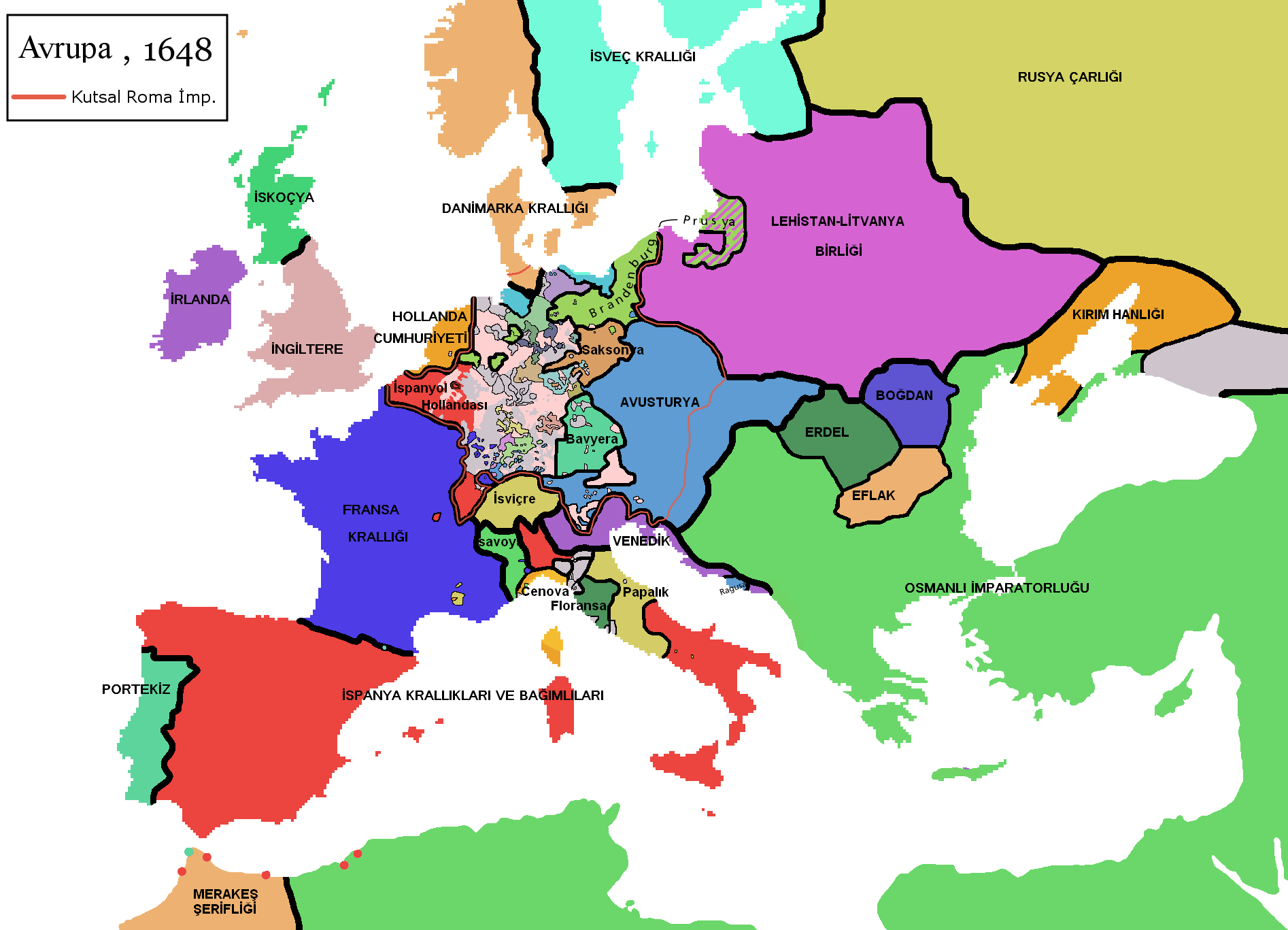
| Description | ==Turkish version of File:Europe map 1648.PNG |
| Date | (UTC) |
| Source | |
| Author |
|
I, the copyright holder of this work, hereby publish it under the following licenses:
| This file is licensed under the Creative Commons Attribution-Share Alike 3.0 Unported license. | ||
| ||
| This licensing tag was added to this file as part of the GFDL licensing update. |

|
Permission is granted to copy, distribute and/or modify this document under the terms of the GNU Free Documentation License, Version 1.2 or any later version published by the Free Software Foundation; with no Invariant Sections, no Front-Cover Texts, and no Back-Cover Texts. A copy of the license is included in the section entitled GNU Free Documentation License. |
You may select the license of your choice.
Original upload log[edit]
This image is a derivative work of the following images:
- File:Europe_map_1648.PNG licensed with Cc-by-sa-3.0-migrated, GFDL
- 2008-12-12T02:13:45Z Mathiasrex 1894x1367 (197990 Bytes) In 1648 Duchy of Prussia was yet a fief of the Polish Crown
- 2008-11-04T22:12:11Z Beliar 1894x1367 (197454 Bytes) Holstein was part of the HRE but was ruled by the danish king in personal union as the duce of H.
- 2007-10-24T07:09:47Z Conscious 1894x1367 (186157 Bytes) "Tsardom of Russia" instead of "Russian Empire" (this is a pre-1721 map)
- 2007-01-10T05:47:14Z Roke 1894x1367 (186110 Bytes) more detail HRE, fixes
- 2006-06-08T00:10:58Z Roke 1894x1367 (186146 Bytes) change to polish-lithuanian commonwealth after comment on en
- 2006-05-09T09:08:45Z Roke 1894x1367 (184339 Bytes) cropped right version
- 2006-05-08T13:12:58Z Roke 1894x1374 (111881 Bytes) minor crop
- 2006-05-05T05:12:47Z Roke 1900x1378 (185935 Bytes) Map of Europe in 1648 (at the end of the [[w:Thirty Years War|Thirty Years War]], based on free map of europe [[:Image:BlankMap-Europe.png]] {{Europe}} [[Category:Historical maps of Europe]]
Uploaded with derivativeFX
File history
Click on a date/time to view the file as it appeared at that time.
| Date/Time | Thumbnail | Dimensions | User | Comment | |
|---|---|---|---|---|---|
| current | 22:16, 22 February 2010 | | 1,894 × 1,367 (195 KB) | Vikiyazar (talk | contribs) | {{Information |Description===Turkish version of File:Europe map 1648.PNG |Source=*File:Europe_map_1648.PNG |Date=2010-02-22 22:15 (UTC) |Author=*File:Europe_map_1648.PNG: User:Vikiyazar *derivative work: ~~~ |Permission=see below |other_ve |
You cannot overwrite this file.
File usage on Commons
There are no pages that use this file.
File usage on other wikis
The following other wikis use this file:
- Usage on ar.wikipedia.org
- Usage on tr.wikipedia.org