File:Australia map maritime zones.png
Jump to navigation
Jump to search

Size of this preview: 657 × 600 pixels. Other resolutions: 263 × 240 pixels | 526 × 480 pixels.
Original file (800 × 730 pixels, file size: 78 KB, MIME type: image/png)
Captions
Captions
Add a one-line explanation of what this file represents
Summary[edit]
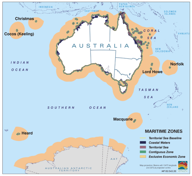
| Description | Map of Australia showing maritime boundary zones |
| Date | |
| Source | http://www.ga.gov.au/marine/jurisdiction/definitions.jsp |
| Author | Australian government, Geoscience Australia |
| Permission (Reusing this file) |
eCreative Commons Attribution 3.0 Australia Licence |
Licensing[edit]
This file is licensed under the Creative Commons Attribution-Share Alike 3.0 Unported license.
- You are free:
- to share – to copy, distribute and transmit the work
- to remix – to adapt the work
- Under the following conditions:
- attribution – You must give appropriate credit, provide a link to the license, and indicate if changes were made. You may do so in any reasonable manner, but not in any way that suggests the licensor endorses you or your use.
- share alike – If you remix, transform, or build upon the material, you must distribute your contributions under the same or compatible license as the original.
Original upload log[edit]
| Date/Time | Dimensions | User | Comment |
|---|---|---|---|
| 19 November 2010, 19:42:29 | 800 × 730 (65536 bytes) | Tenmei (talk · contribs) | {{Information |Description=Map of Australia showing maritime boundary zones |Source=http://www.ga.gov.au/marine/jurisdiction/definitions.jsp |Date=21 July 2010 |Author=Australian government, Geoscience Australia |Permission=eCreative Commons Attribution |
File history
Click on a date/time to view the file as it appeared at that time.
| Date/Time | Thumbnail | Dimensions | User | Comment | |
|---|---|---|---|---|---|
| current | 09:25, 21 August 2014 | | 800 × 730 (78 KB) | GifTagger (talk | contribs) | Bot: Converting file to superior PNG file. (Source: Australia_map_maritime_zones.gif). This GIF was problematic due to non-greyscale color table. |
You cannot overwrite this file.
File usage on Commons
The following page uses this file:
- File:Australia map maritime zones.gif (file redirect)
File usage on other wikis
The following other wikis use this file: