File:Arundel & Wick.svg
Jump to navigation
Jump to search

Size of this PNG preview of this SVG file: 776 × 574 pixels. Other resolutions: 320 × 237 pixels | 640 × 473 pixels | 1,024 × 757 pixels | 1,280 × 947 pixels | 2,560 × 1,894 pixels.
Original file (SVG file, nominally 776 × 574 pixels, file size: 1.46 MB)
Captions
Captions
Add a one-line explanation of what this file represents
Summary[edit]
| Description |
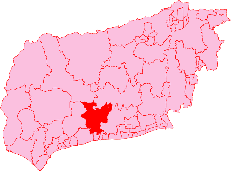
English: Arundel & Wick electoral division shown within the County of West Sussex. |
| Date | |
| Source | Own work |
| Author | Oxenhillshaw |
| SVG development | This W3C-invalid locator map was created with Adobe Illustrator. This bad Adobe SVG locator map is very large because Oxenhillshaw kept the superfluous Adobe PGF or other CDATA garbage . |

Licensing[edit]
| I, the copyright holder of this work, release this work into the public domain. This applies worldwide. In some countries this may not be legally possible; if so: I grant anyone the right to use this work for any purpose, without any conditions, unless such conditions are required by law. |
File history
Click on a date/time to view the file as it appeared at that time.
| Date/Time | Thumbnail | Dimensions | User | Comment | |
|---|---|---|---|---|---|
| current | 08:05, 8 July 2009 | | 776 × 574 (1.46 MB) | Oxenhillshaw (talk | contribs) | {{Information |Description={{en|1=Arundel & Wick electoral division shown within the County of West Sussex.}} |Source=Own work by uploader |Author=Oxenhillshaw |Date=2009-07-07 |Permission= |other_versions= }} <!--{{ImageUpload|full |
You cannot overwrite this file.
File usage on Commons
There are no pages that use this file.