File:Argentina San Luis location map.svg
Jump to navigation
Jump to search

Size of this PNG preview of this SVG file: 351 × 599 pixels. Other resolutions: 140 × 240 pixels | 281 × 480 pixels | 450 × 768 pixels | 600 × 1,024 pixels | 1,200 × 2,048 pixels | 750 × 1,280 pixels.
Original file (SVG file, nominally 750 × 1,280 pixels, file size: 142 KB)
Captions
Captions
Add a one-line explanation of what this file represents
Summary[edit]
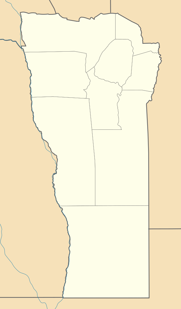
| Description |
Deutsch: Positionskarte von San Luis (Argentinien) English: Location map of San Luis province (Argentina) Español: Mapa de localización de la Provincia de San Luis.
Equirectangular projection, N/S stretching 121 %. Geographic limits of the map:
|
| Date | (UTC) |
| Source |
This file was derived from: |
| Author |
|
| Other versions |
|

Licensing[edit]
This file is licensed under the Creative Commons Attribution-Share Alike 3.0 Unported license.
- You are free:
- to share – to copy, distribute and transmit the work
- to remix – to adapt the work
- Under the following conditions:
- attribution – You must give appropriate credit, provide a link to the license, and indicate if changes were made. You may do so in any reasonable manner, but not in any way that suggests the licensor endorses you or your use.
- share alike – If you remix, transform, or build upon the material, you must distribute your contributions under the same or compatible license as the original.
Original upload log[edit]
This image is a derivative work of the following images:
- File:Argentina_location_map.svg licensed with Cc-by-sa-3.0, GFDL
- File:Map_of_San_Luis_Province.svg licensed with Cc-by-sa-3.0,2.5,2.0,1.0, GFDL
Uploaded with derivativeFX
File history
Click on a date/time to view the file as it appeared at that time.
| Date/Time | Thumbnail | Dimensions | User | Comment | |
|---|---|---|---|---|---|
| current | 14:51, 26 November 2022 | | 750 × 1,280 (142 KB) | GrandEscogriffe (talk | contribs) | more correct north-south stretching |
| 10:34, 10 September 2017 |  | 750 × 1,200 (142 KB) | Milenioscuro (talk | contribs) | capas | |
| 14:55, 14 July 2013 |  | 750 × 1,200 (241 KB) | Milenioscuro (talk | contribs) | == {{int:filedesc}} == {{Information |Description={{de|Positionskarte von San Luis (Argentinien)}}{{en|Location map of San Luis province (Argentina)}}{{es|1=Mapa de localización de la Provincia de San Luis.}} Equi... |
You cannot overwrite this file.
File usage on Commons
The following 10 pages use this file:
- File:Argentina San Luis topographic location map.png
- Category:Cities in San Luis Province
- Category:Dams in San Luis Province
- Category:Departments of San Luis Province
- Category:Geography of San Luis Province
- Category:People of San Luis Province
- Category:Populated places in San Luis Province
- Category:San Luis Province
- Category:Sports in San Luis Province
- Category:Train stations in San Luis province
File usage on other wikis
The following other wikis use this file:
- Usage on de.wikipedia.org
- Usage on en.wikipedia.org
- Usage on eo.wikipedia.org
- Usage on es.wikipedia.org
- San Luis (Argentina)
- Villa Mercedes (San Luis)
- San José del Morro
- La Toma (Argentina)
- Santa Rosa del Conlara
- Villa de Merlo
- Balde (San Luis)
- Justo Daract (localidad)
- San Francisco del Monte de Oro
- Villa Reynolds
- Concarán
- Renca (Argentina)
- Juana Koslay
- La Punta (San Luis)
- Quines
- Buena Esperanza
- Tilisarao
- San Martín (San Luis)
- Naschel
- Villa General Roca
- Lafinur
- El Trapiche (Argentina)
- Papagayos
- Villa del Carmen (San Luis)
- Villa Larca
- Cortaderas
- San Pablo (San Luis)
- Juan Llerena (San Luis)
- La Punilla (Argentina)
- Juan Jorba
- Lavaisse
- Unión (San Luis)
- Arizona (Argentina)
- Nueva Galia
- Fortuna (San Luis)
- Anchorena (San Luis)
- Fortín El Patria
- Batavia (Argentina)
- Bagual (San Luis)
View more global usage of this file.