File:Argentina - Político.png
Jump to navigation
Jump to search
Size of this preview: 363 × 599 pixels. Other resolutions: 145 × 240 pixels | 568 × 937 pixels.
Original file (568 × 937 pixels, file size: 19 KB, MIME type: image/png)
Captions
Captions
Add a one-line explanation of what this file represents
Summary[edit]
| Description |
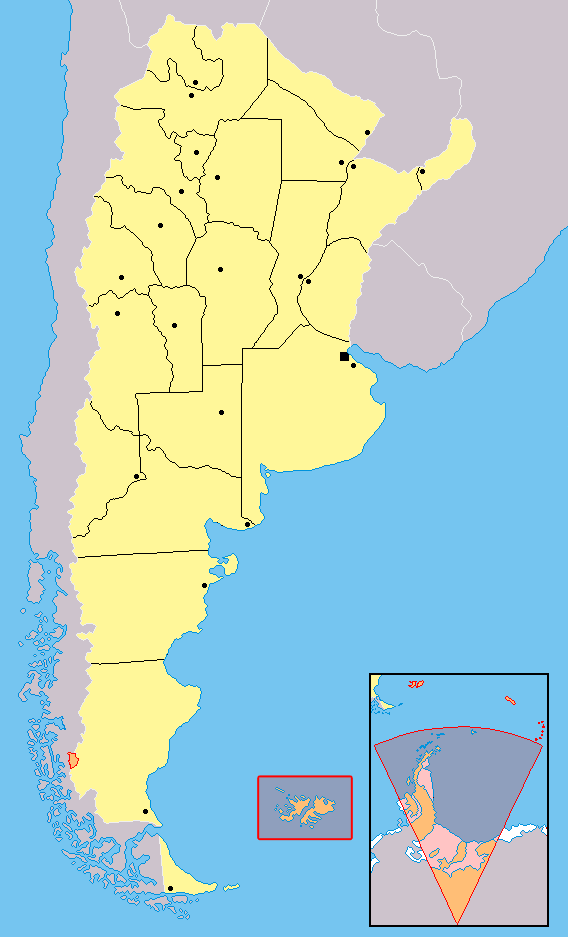
Español: carta de las provincias de la República Argentina. Los territorios en anaranjado no están bajo la soberanía argentina: se encuentran ocupados por Inglaterra (Ej:Islas del Atlántico Sur) o es un reclamo en suspenso (Ej:Antártida) |
| Source | Own work |
| Author | Misionero |
Orígen[edit]
Español: hecho y subido por Misionero, arreglos por Huhsunqu. Editado de los sitios [1],[2],[3] y [4]
![[4]](http://www.bcnbib.gov.ar/img/repargmap.jpg)
Licensing[edit]
I, the copyright holder of this work, hereby publish it under the following license:

|
Permission is granted to copy, distribute and/or modify this document under the terms of the GNU Free Documentation License, Version 1.2 or any later version published by the Free Software Foundation; with no Invariant Sections, no Front-Cover Texts, and no Back-Cover Texts. A copy of the license is included in the section entitled GNU Free Documentation License. |
| This file is licensed under the Creative Commons Attribution-Share Alike 3.0 Unported license. | ||
| ||
| This licensing tag was added to this file as part of the GFDL licensing update. |
| Annotations | This image is annotated: View the annotations at Commons |
File history
Click on a date/time to view the file as it appeared at that time.
| Date/Time | Thumbnail | Dimensions | User | Comment | |
|---|---|---|---|---|---|
| current | 16:01, 4 December 2017 | | 568 × 937 (19 KB) | Janitoalevic (talk | contribs) | Fixed borders. |
| 13:01, 5 March 2006 |  | 568 × 937 (33 KB) | Misionero~commonswiki (talk | contribs) | ||
| 11:36, 5 March 2006 |  | 568 × 937 (33 KB) | Misionero~commonswiki (talk | contribs) | ||
| 17:53, 19 February 2006 |  | 568 × 937 (36 KB) | Misionero~commonswiki (talk | contribs) | Recuperar una revisión anterior | |
| 17:12, 19 February 2006 |  | 568 × 937 (33 KB) | Misionero~commonswiki (talk | contribs) | Recuperar una revisión anterior | |
| 15:29, 19 February 2006 |  | 568 × 937 (36 KB) | Huhsunqu (talk | contribs) | mínimos detalles | |
| 15:27, 19 February 2006 |  | 568 × 937 (36 KB) | Huhsunqu (talk | contribs) | ||
| 15:24, 19 February 2006 |  | 568 × 937 (36 KB) | Huhsunqu (talk | contribs) | ||
| 10:43, 19 February 2006 |  | 568 × 937 (33 KB) | Misionero~commonswiki (talk | contribs) | Los sectores enmarcados en rojo corresponden a territorios que figuran en los mapas oficiales de la Republica Argentina como propios, pero que se encuentran ocupados por Inglaterra (Ej: Islas Malvinas) o son reclamados por Chile y/o Inglaterra (Ej: distin |
You cannot overwrite this file.
File usage on Commons
There are no pages that use this file.
File usage on other wikis
The following other wikis use this file:
- Usage on es.wikipedia.org
- Usage on simple.wikipedia.org
- Usage on test2.wikipedia.org
- Usage on zh.wikipedia.org