File:Anthony Henday Dr at Yellowhead Trail, Strathcona County.jpg
Jump to navigation
Jump to search
Size of this preview: 800 × 450 pixels. Other resolutions: 320 × 180 pixels | 640 × 360 pixels | 1,024 × 576 pixels | 1,280 × 720 pixels | 2,560 × 1,440 pixels | 6,000 × 3,375 pixels.
Original file (6,000 × 3,375 pixels, file size: 8.48 MB, MIME type: image/jpeg)
Captions
Captions
Add a one-line explanation of what this file represents
Summary[edit]
| Description |
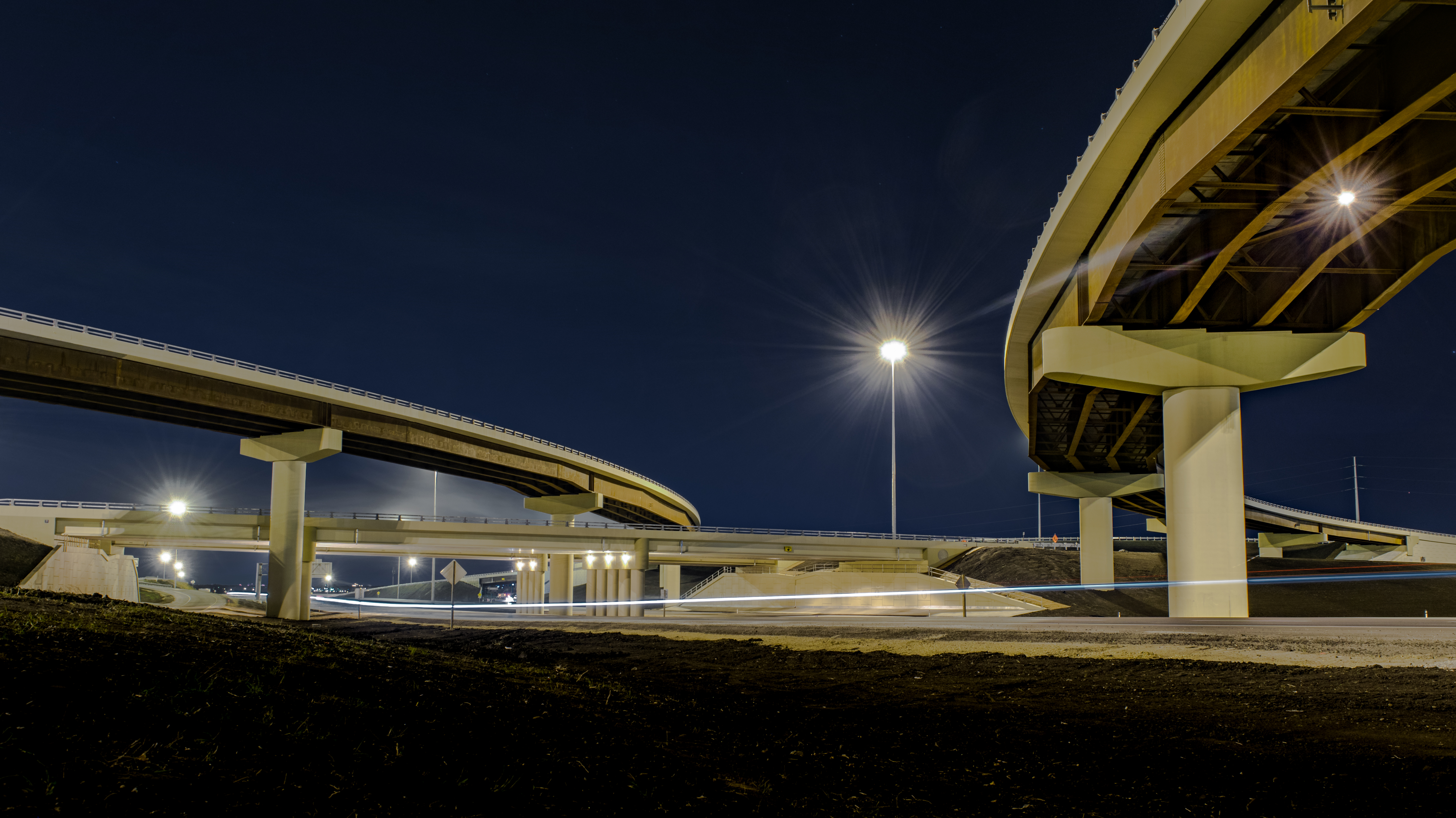
English: Anthony Henday Drive interchange over Yellowhead Trail, Strathcona County immediately east of Edmonton, Alberta. Construction was completed in 2016. |
| Date | |
| Source | Own work |
| Author | acefitt |
| Camera location | | View this and other nearby images on: OpenStreetMap |
|---|
(General location)
Licensing[edit]
I, the copyright holder of this work, hereby publish it under the following license:
This file is licensed under the Creative Commons Attribution-Share Alike 2.0 Generic license.
- You are free:
- to share – to copy, distribute and transmit the work
- to remix – to adapt the work
- Under the following conditions:
- attribution – You must give appropriate credit, provide a link to the license, and indicate if changes were made. You may do so in any reasonable manner, but not in any way that suggests the licensor endorses you or your use.
- share alike – If you remix, transform, or build upon the material, you must distribute your contributions under the same or compatible license as the original.
File history
Click on a date/time to view the file as it appeared at that time.
| Date/Time | Thumbnail | Dimensions | User | Comment | |
|---|---|---|---|---|---|
| current | 07:51, 8 October 2016 | | 6,000 × 3,375 (8.48 MB) | AceYYC (talk | contribs) | Anthony Henday Drive interchange at Yellowhead Trail. |
| 12:42, 6 October 2016 |  | 5,369 × 3,436 (10.5 MB) | AceYYC (talk | contribs) | User created page with UploadWizard |
You cannot overwrite this file.
File usage on Commons
The following page uses this file:
File usage on other wikis
The following other wikis use this file: