File:Anatōshi-iso, Goishi-kaigan, -12 Jun. 2011 b.jpg
Jump to navigation
Jump to search
Size of this preview: 800 × 531 pixels. Other resolutions: 320 × 213 pixels | 640 × 425 pixels | 1,024 × 680 pixels.
Original file (1,024 × 680 pixels, file size: 885 KB, MIME type: image/jpeg)
Captions
Captions
Add a one-line explanation of what this file represents
Summary[edit]
| Description |
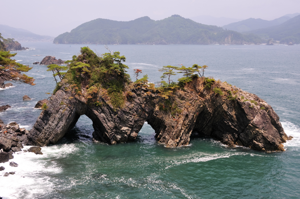
日本語: 碁石海岸・穴通磯。 Nederlands: De rotsen genaamd Anatōshi-iso aan de Goishi-kust.
|
| Date | |
| Source | f:id:estel_bb:20110612112355j:image |
| Author | estel |
| Camera location | | View this and other nearby images on: OpenStreetMap |
|---|
Licensing[edit]
This file is licensed under the Creative Commons Attribution 2.1 Japan license.
Attribution: estel
- You are free:
- to share – to copy, distribute and transmit the work
- to remix – to adapt the work
- Under the following conditions:
- attribution – You must give appropriate credit, provide a link to the license, and indicate if changes were made. You may do so in any reasonable manner, but not in any way that suggests the licensor endorses you or your use.

This file, which was originally posted to
f.hatena.ne.jp, was reviewed on 30 November 2012 by reviewer Morning Sunshine, who confirmed that it was available there under the stated license on that date.
|
File history
Click on a date/time to view the file as it appeared at that time.
| Date/Time | Thumbnail | Dimensions | User | Comment | |
|---|---|---|---|---|---|
| current | 11:16, 30 November 2012 | | 1,024 × 680 (885 KB) | トトト (talk | contribs) | == {{int:filedesc}} == {{Information |Description={{ja|1=碁石海岸・穴通磯。}}{{nl|1=De rotsen genaamd '''''Anatōshi-iso''''' aan de Goishi-kust.}}{{Taken with|text=[[:Category:Nikon D300s|... |
You cannot overwrite this file.
File usage on Commons
The following page uses this file:
- File:Anatōshi-iso, Goishi-kaigan, -12 Jun. 2012 b.jpg (file redirect)
File usage on other wikis
The following other wikis use this file:
- Usage on en.wikipedia.org
- Usage on eu.wikipedia.org
- Usage on pl.wikipedia.org
- Usage on zh.wikipedia.org