File:Alta Zaragoza y Uesca.png
Jump to navigation
Jump to search

Size of this preview: 800 × 554 pixels. Other resolutions: 320 × 222 pixels | 640 × 443 pixels | 1,024 × 709 pixels | 1,239 × 858 pixels.
Original file (1,239 × 858 pixels, file size: 2.02 MB, MIME type: image/png)
Captions
Captions
Add a one-line explanation of what this file represents
Summary[edit]
| Description |
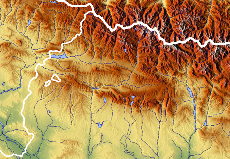
Aragonés: Alta Zaragoza y Uesca (orografía)
Español: Alta Zaragoza y Huesca (orografía) |
| Date | |
| Source | www.maps-for-free.com |
| Author | Willtron |
Licensing[edit]

|
Permission is granted to copy, distribute and/or modify this document under the terms of the GNU Free Documentation License, Version 1.2 or any later version published by the Free Software Foundation; with no Invariant Sections, no Front-Cover Texts, and no Back-Cover Texts. A copy of the license is included in the section entitled GNU Free Documentation License. |
| This file is licensed under the Creative Commons Attribution-Share Alike 3.0 Unported license. | ||
| ||
| This licensing tag was added to this file as part of the GFDL licensing update. |
File history
Click on a date/time to view the file as it appeared at that time.
| Date/Time | Thumbnail | Dimensions | User | Comment | |
|---|---|---|---|---|---|
| current | 18:01, 26 March 2019 | | 1,239 × 858 (2.02 MB) | Willtron (talk | contribs) | User created page with UploadWizard |
You cannot overwrite this file.
File usage on Commons
There are no pages that use this file.
File usage on other wikis
The following other wikis use this file:
- Usage on an.wikipedia.org
- Castiello de Barués
- Mont Novellaco
- Monsanjuán
- San Cristóbal (Sos)
- Penya Roya (Sos)
- El Rojal
- Cima de Penya
- Pueyo de Serún
- La Plana
- Punta Zamal
- Piquera
- Pui Ladrones
- Valdearagón
- Pui Perero
- Pueyo d'el Ferrero
- Cima de Roita
- El Penyazo
- Pico de Sant Hadrián
- Cantera d'el Cierzo
- Loma Sentis Salado
- Cubilar Verde
- Pui Mascarón
- Pullizar
- Alto de Batarillo
- Mont Gallinero
- Cerro de San Jorge
- La Talaya (Sadaba)
- Pui Almanar
- Sierra de Penya