File:Akershusstranda postkort.jpg
Jump to navigation
Jump to search
Size of this preview: 800 × 499 pixels. Other resolutions: 320 × 200 pixels | 640 × 400 pixels | 1,190 × 743 pixels.
Original file (1,190 × 743 pixels, file size: 502 KB, MIME type: image/jpeg)
Captions
Captions
Add a one-line explanation of what this file represents
Summary[edit]
| Description |
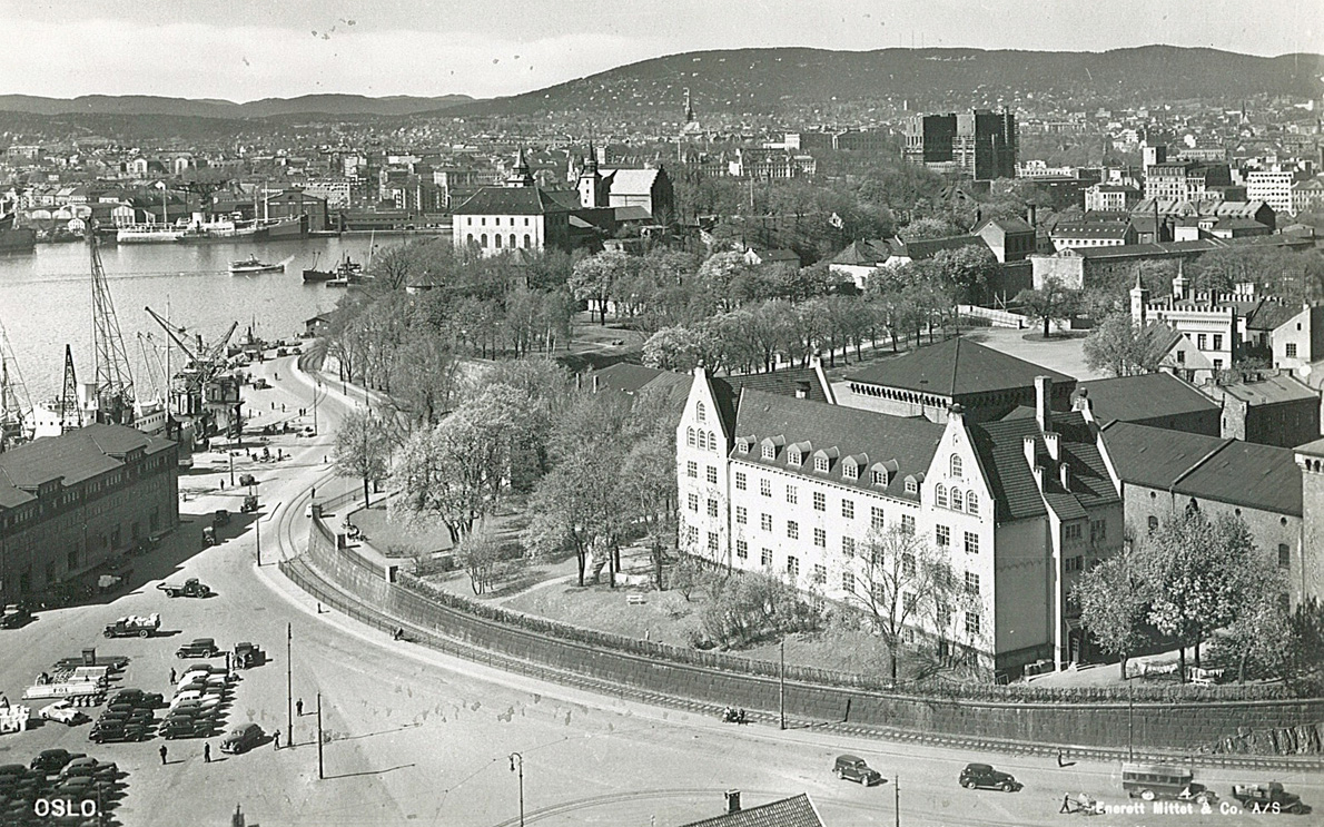
Norsk bokmål: Postkort fra 1940 tallet med Akershus Festning og Akershusstranda som motiv. Bildet er tatt fra Vippetangkaia, potensielt fra toppen av kornsiloen. Ukjent fotograf |
| Date | between circa 1945 and circa 1950 |
| Source | Oslo Museum: image no. OB.F11818b, via digitaltmuseum.no. |
| Author | Mittet & Co A.S |
Licensing[edit]
This file is licensed under the Creative Commons Attribution-Share Alike 4.0 International license.
- You are free:
- to share – to copy, distribute and transmit the work
- to remix – to adapt the work
- Under the following conditions:
- attribution – You must give appropriate credit, provide a link to the license, and indicate if changes were made. You may do so in any reasonable manner, but not in any way that suggests the licensor endorses you or your use.
- share alike – If you remix, transform, or build upon the material, you must distribute your contributions under the same or compatible license as the original.
File history
Click on a date/time to view the file as it appeared at that time.
| Date/Time | Thumbnail | Dimensions | User | Comment | |
|---|---|---|---|---|---|
| current | 03:01, 27 June 2018 | | 1,190 × 743 (502 KB) | Hellando (talk | contribs) | User created page with UploadWizard |
You cannot overwrite this file.
File usage on Commons
There are no pages that use this file.
File usage on other wikis
The following other wikis use this file:
- Usage on no.wikipedia.org