File:AirportBlvd ThermalCalifornia.jpg
Jump to navigation
Jump to search
No higher resolution available.
AirportBlvd_ThermalCalifornia.jpg (798 × 441 pixels, file size: 60 KB, MIME type: image/jpeg)
Captions
Captions
Add a one-line explanation of what this file represents
Summary[edit]
| Description |
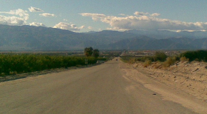
English: Thermal, California
view from east end of Airport Blvd looking west. grove on left side, grapes on right side.
|
||||
| Date | |||||
| Source | Own work | ||||
| Author | MarsRover |
Licensing[edit]
| I, the copyright holder of this work, release this work into the public domain. This applies worldwide. In some countries this may not be legally possible; if so: I grant anyone the right to use this work for any purpose, without any conditions, unless such conditions are required by law. |
File history
Click on a date/time to view the file as it appeared at that time.
| Date/Time | Thumbnail | Dimensions | User | Comment | |
|---|---|---|---|---|---|
| current | 07:13, 11 January 2009 | | 798 × 441 (60 KB) | MarsRover (talk | contribs) | {{Information |Description={{en|1=Thermal, California view from east end of Airport Blvd looking west. grove on left side, grapes on right side.}} |Source=Own work by uploader |Author=MarsRover |Date=Dec 26, 2008 |Permission= |other_v |
You cannot overwrite this file.
File usage on Commons
The following page uses this file:
File usage on other wikis
The following other wikis use this file:
- Usage on azb.wikipedia.org
- Usage on ceb.wikipedia.org
- Usage on ce.wikipedia.org
- Usage on de.wikipedia.org
- Usage on en.wikipedia.org
- Usage on es.wikipedia.org
- Usage on eu.wikipedia.org
- Usage on fa.wikipedia.org
- Usage on fr.wikipedia.org
- Usage on it.wikipedia.org
- Usage on lld.wikipedia.org
- Usage on pl.wikipedia.org
- Usage on sr.wikipedia.org
- Usage on tt.wikipedia.org
- Usage on uk.wikipedia.org
- Usage on www.wikidata.org
- Usage on zh.wikipedia.org