File:Air Operations Control Station Nieuw-Milligen map.png
Jump to navigation
Jump to search

Size of this preview: 540 × 599 pixels. Other resolutions: 216 × 240 pixels | 433 × 480 pixels | 692 × 768 pixels | 1,232 × 1,367 pixels.
Original file (1,232 × 1,367 pixels, file size: 446 KB, MIME type: image/png)
Captions
Captions
Add a one-line explanation of what this file represents
Summary[edit]
| Description |
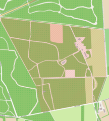
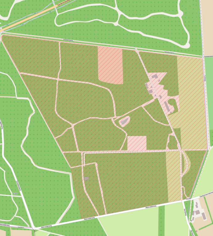
English: OpenStreetMap of the Control Station. |
| Date | Unknown date |
| Source | OpenStreetMap, http://www.openstreetmap.org/?lat=52.23677&lon=5.74396&zoom=16&layers=M |
| Author | OpenStreetMap contributors |
Licensing[edit]
This file is licensed under the Creative Commons Attribution-Share Alike 2.0 Generic license.
- You are free:
- to share – to copy, distribute and transmit the work
- to remix – to adapt the work
- Under the following conditions:
- attribution – You must give appropriate credit, provide a link to the license, and indicate if changes were made. You may do so in any reasonable manner, but not in any way that suggests the licensor endorses you or your use.
- share alike – If you remix, transform, or build upon the material, you must distribute your contributions under the same or compatible license as the original.
File history
Click on a date/time to view the file as it appeared at that time.
| Date/Time | Thumbnail | Dimensions | User | Comment | |
|---|---|---|---|---|---|
| current | 03:40, 29 April 2013 | | 1,232 × 1,367 (446 KB) | Oaktree b (talk | contribs) | {{Information |Description ={{en|1=Open Street Map of the Control Station.}} |Source =Open Street map, http://www.openstreetmap.org/?lat=52.23677&lon=5.74396&zoom=16&layers=M |Author =Open Street Map team |Date =Unknown |Pe... |
You cannot overwrite this file.
File usage on Commons
There are no pages that use this file.
File usage on other wikis
The following other wikis use this file:
- Usage on en.wikipedia.org