File:Aigueze ruelle.jpg
Jump to navigation
Jump to search
Size of this preview: 400 × 600 pixels. Other resolutions: 160 × 240 pixels | 320 × 480 pixels | 512 × 768 pixels | 682 × 1,024 pixels | 2,472 × 3,708 pixels.
Original file (2,472 × 3,708 pixels, file size: 4.21 MB, MIME type: image/jpeg)
Captions
Captions
Add a one-line explanation of what this file represents
Summary[edit]
| Description |
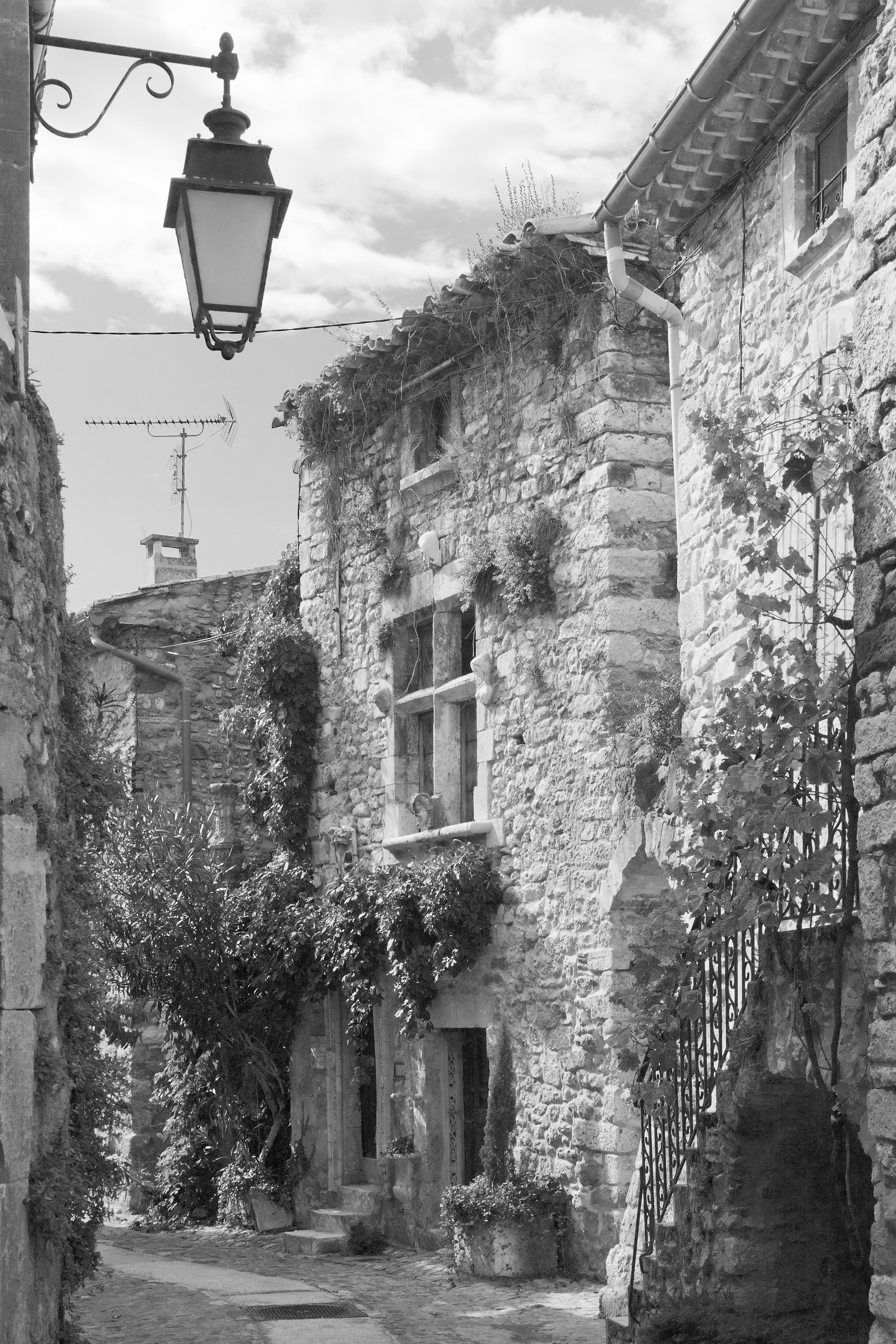
Deutsch: Aiguèze, Gässchen |
| Date | |
| Source | Self-photographed |
| Author | Ikiwaner |
| Permission (Reusing this file) |
GNU Free Documentation License v1.2 only |
| Camera location | | View this and other nearby images on: OpenStreetMap |
|---|
Licensing[edit]

|
Permission is granted to copy, distribute and/or modify this document under the terms of the GNU Free Documentation License, Version 1.2 only as published by the Free Software Foundation; with no Invariant Sections, no Front-Cover Texts, and no Back-Cover Texts. A copy of the license is included in the section entitled GNU Free Documentation License. | 1.2 only |
File history
Click on a date/time to view the file as it appeared at that time.
| Date/Time | Thumbnail | Dimensions | User | Comment | |
|---|---|---|---|---|---|
| current | 11:24, 9 August 2009 | | 2,472 × 3,708 (4.21 MB) | Ikiwaner (talk | contribs) | {{Information |Description={{de|Aiguèze, Gässchen}} |Source={{Own}} |Date=siehe Bild-Metadaten |Author=Ikiwaner |Permission=GNU Free Documentation License v1.2 only |other_versions= }} {{GFDL-1.2}} [[Category:Black and white photogra |
You cannot overwrite this file.
File usage on Commons
The following page uses this file:
File usage on other wikis
The following other wikis use this file:
- Usage on de.wikipedia.org
Metadata
Categories:
- 2008 in Gard
- 2008 in road transport in France
- Black and white photographs of Gard in the 2000s
- Black and white photographs of residential buildings
- Aiguèze
- Alleys in Occitanie
- Exterior wall lanterns in France
- Ornamental plants in Gard
- September 2008 France photographs
- September 2008 in Languedoc-Roussillon
- Stairs in Gard
- Stone buildings in Gard
- Street lights in Gard
- Streets in Gard
- Climbing plants in France