File:Afon Doethie Fawr near Ty'n Cornel, Ceredigion - geograph.org.uk - 1424149.jpg
Jump to navigation
Jump to search
No higher resolution available.
Afon_Doethie_Fawr_near_Ty'n_Cornel,_Ceredigion_-_geograph.org.uk_-_1424149.jpg (640 × 480 pixels, file size: 134 KB, MIME type: image/jpeg)
Captions
Captions
Add a one-line explanation of what this file represents
Summary[edit]
| Description |
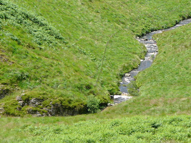
English: Afon Doethie Fawr near Ty'n Cornel, Ceredigion Grazing land for sheep and cattle slopes quite steeply on both sides of the river at this point. The Afon Doethie has its source about two kilometres up the valley in the Cwm Berwyn Plantation, and flows into the Afon Pysgotwr which flows into the Afon Tywi south of Llyn Brianne, so sea trout can come up river into this square and beyond. |
| Date | |
| Source | From geograph.org.uk |
| Author | Roger Kidd |
| Attribution (required by the license) | Roger Kidd / Afon Doethie Fawr near Ty'n Cornel, Ceredigion / |
| Camera location | | View this and other nearby images on: OpenStreetMap |
|---|
_heading:292.00&language=en)
| Object location | | View this and other nearby images on: OpenStreetMap |
|---|
_heading:292.00&language=en)
Licensing[edit]

|
This image was taken from the Geograph project collection. See this photograph's page on the Geograph website for the photographer's contact details. The copyright on this image is owned by Roger Kidd and is licensed for reuse under the Creative Commons Attribution-ShareAlike 2.0 license.
|
This file is licensed under the Creative Commons Attribution-Share Alike 2.0 Generic license.
Attribution: Roger Kidd
- You are free:
- to share – to copy, distribute and transmit the work
- to remix – to adapt the work
- Under the following conditions:
- attribution – You must give appropriate credit, provide a link to the license, and indicate if changes were made. You may do so in any reasonable manner, but not in any way that suggests the licensor endorses you or your use.
- share alike – If you remix, transform, or build upon the material, you must distribute your contributions under the same or compatible license as the original.
File history
Click on a date/time to view the file as it appeared at that time.
| Date/Time | Thumbnail | Dimensions | User | Comment | |
|---|---|---|---|---|---|
| current | 18:32, 1 March 2011 | | 640 × 480 (134 KB) | GeographBot (talk | contribs) | == {{int:filedesc}} == {{Information |description={{en|1=Afon Doethie Fawr near Ty'n Cornel, Ceredigion Grazing land for sheep and cattle slopes quite steeply on both sides of the river at this point. The Afon Doethie has its source about two kilometres u |
You cannot overwrite this file.
File usage on Commons
There are no pages that use this file.