File:Aerial photo of the Port Nelson causeway -a.png
Original file (971 × 792 pixels, file size: 40 KB, MIME type: image/png)
Captions
Captions
Summary[edit]
| Description |
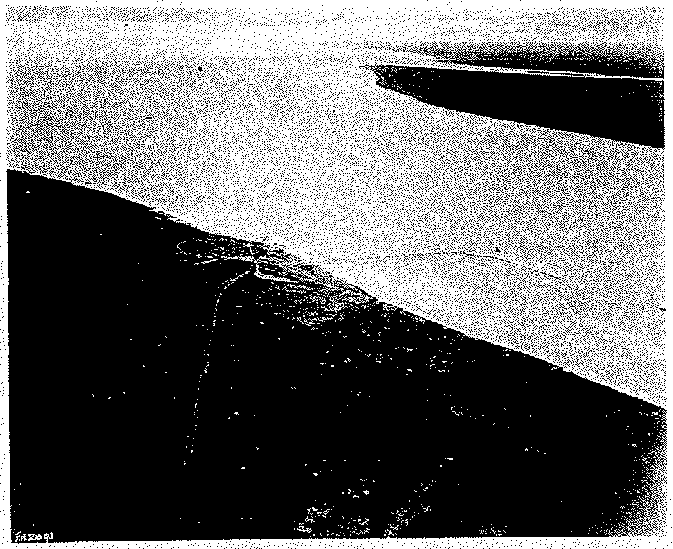
English: Aerial photo of the Port Nelson causeway. Note the mouth of the smaller Hayes River towards the top of the picture. |
|||
| Date | ||||
| Source | https://mspace.lib.umanitoba.ca/bitstreams/89088405-4208-4578-83a0-7234de62a85c/download | |||
| Author | unknown | |||
| Permission (Reusing this file) |
|

File history
Click on a date/time to view the file as it appeared at that time.
| Date/Time | Thumbnail | Dimensions | User | Comment | |
|---|---|---|---|---|---|
| current | 19:11, 29 September 2023 | | 971 × 792 (40 KB) | Obscure2020 (talk | contribs) | Extracted original image from PDF source using Inkscape. Re-cropped using GIMP. Optimized with OxiPNG and ZopfliPNG. PLEASE NOTE: Artificially inflating the resolution of archival images, either by upscaling or by screenshotting, is NOT a recommended practice. Screenshotting is also NOT an acceptable method of extracting images from webpages or PDFs. |
| 11:38, 26 September 2023 |  | 1,091 × 874 (456 KB) | Geo Swan (talk | contribs) | Cropped 43 % horizontally, 19 % vertically using CropTool with precise mode. | |
| 11:35, 26 September 2023 |  | 1,920 × 1,080 (1.55 MB) | Geo Swan (talk | contribs) | {{Information |Description={{en|1=Aerial photo of the Nelson River, Manitoba.}} |Source=https://mspace.lib.umanitoba.ca/bitstreams/89088405-4208-4578-83a0-7234de62a85c/download |Date=1927 |Author=unknown |Permission={{PD-Canada}} |other_versions= }} Category:Aerial photographs of Manitoba Category:1927 in Manitoba Category:Nelson River |
You cannot overwrite this file.
File usage on Commons
The following page uses this file:
- File:Aerial photo of the Nelson River, Manitoba -a.png (file redirect)