File:Aerial Salem Township Champaign County.jpg
Jump to navigation
Jump to search

Size of this preview: 800 × 596 pixels. Other resolutions: 320 × 239 pixels | 640 × 477 pixels | 1,024 × 763 pixels | 1,280 × 954 pixels | 2,576 × 1,920 pixels.
Original file (2,576 × 1,920 pixels, file size: 1.98 MB, MIME type: image/jpeg)
Captions
Captions
Add a one-line explanation of what this file represents
| Description |
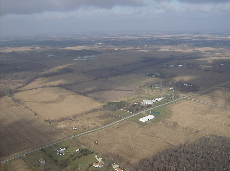
English: Fields in northwestern Salem Township, Champaign County, Ohio, United States, west of the village of West Liberty. Picture taken from a Diamond Eclipse light airplane at an altitude of 2,100 feet MSL and a bearing of approximately 294º. |
||
| Date | Taken on 9 January 2008 | ||
| Source | Own work | ||
| Author | Nyttend | ||
| Permission (Reusing this file) |
|
File history
Click on a date/time to view the file as it appeared at that time.
| Date/Time | Thumbnail | Dimensions | User | Comment | |
|---|---|---|---|---|---|
| current | 21:11, 10 January 2008 | | 2,576 × 1,920 (1.98 MB) | Nyttend (talk | contribs) | {{Information |Description=Fields in northwestern {{w|Salem Township, Champaign County, Ohio|Salem Township}}, {{w|Champaign County, Ohio|Champaign County}}, {{w|Ohio}}, {{w|United States}}, west of the village of {{w|West Liberty, Ohio|West Liberty}}. P |
You cannot overwrite this file.
File usage on Commons
The following page uses this file:
File usage on other wikis
The following other wikis use this file:
- Usage on de.wikipedia.org
- Usage on en.wikipedia.org
- Usage on es.wikipedia.org
- Usage on eu.wikipedia.org
- Usage on fa.wikipedia.org
- Usage on pt.wikipedia.org
- Usage on vi.wikipedia.org
- Usage on www.wikidata.org
- Usage on zh.wikipedia.org