File:Administrative map of the Ainaro district of East Timor.png
Jump to navigation
Jump to search

Size of this preview: 409 × 600 pixels. Other resolutions: 163 × 240 pixels | 327 × 480 pixels | 523 × 768 pixels | 1,215 × 1,782 pixels.
Original file (1,215 × 1,782 pixels, file size: 276 KB, MIME type: image/png)
Captions
Captions
Add a one-line explanation of what this file represents
| Description |
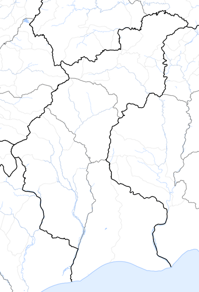
Deutsch: Verwaltungskarte des Distrikts Ainaro in Osttimor
English: Administrative map of the Ainaro district of East Timor |
| Date | |
| Source | Self made, using informations from theTimor-Leste GIS Portal |
| Author | Maximilian Dörrbecker (Chumwa) |
| Permission (Reusing this file) |
I, the copyright holder of this work, hereby publish it under the following license: This file is licensed under the Creative Commons Attribution-Share Alike 2.5 Generic license.
Sie dürfen das Bild zu den folgenden Bedingungen nutzen:
|
File history
Click on a date/time to view the file as it appeared at that time.
| Date/Time | Thumbnail | Dimensions | User | Comment | |
|---|---|---|---|---|---|
| current | 06:06, 19 September 2009 | | 1,215 × 1,782 (276 KB) | Chumwa (talk | contribs) | {{Information |Description= {{ de }} Verwaltungskarte des Distrikts Ainaro in Osttimor {{ en }} Administrative map of the Ainaro district of East Timor |Source=Self made, using informations from the[http://websig.civil.ist.utl.pt/timorgis Timor-Leste GIS |
You cannot overwrite this file.
File usage on Commons
The following page uses this file: