File:ATENU470 KMB 248M 05-01-2023.jpg
Jump to navigation
Jump to search

Size of this preview: 800 × 600 pixels. Other resolutions: 320 × 240 pixels | 640 × 480 pixels | 1,024 × 768 pixels | 1,280 × 960 pixels | 2,560 × 1,920 pixels | 4,032 × 3,024 pixels.
Original file (4,032 × 3,024 pixels, file size: 2.19 MB, MIME type: image/jpeg)
Captions
Captions
Add a one-line explanation of what this file represents
Summary[edit]
| Description |
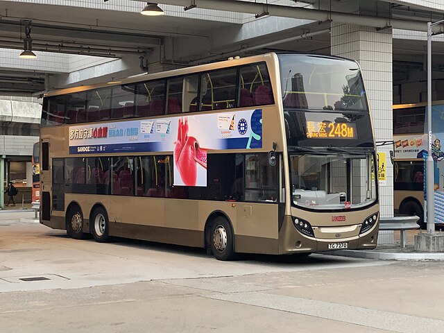
中文:这张照片在青衣站拍摄。 中文(简体):这张照片在青衣站拍摄。 中文(中国大陆):这张照片在青衣站拍摄。 中文(马来西亚):这张照片在青衣站拍摄。 中文(新加坡):这张照片在青衣站拍摄。 中文(繁體):這張照片在青衣站拍攝。 中文(香港):這張照片在青衣站拍攝。 中文(澳門):這張照片在青衣站拍攝。 中文(臺灣):這張照片在青衣站拍攝。 Čeština: Tato fotografie byla pořízena na stanici Tsing Yi. Dansk: Dette billede er taget på Tsing Yi Station. Deutsch: Dieses Foto wurde am Bahnhof Tsing Yi aufgenommen. English: This photo was taken at Tsing Yi Station. Español: Esta foto fue tomada en la estación Tsing Yi. Suomi: Tämä kuva on otettu Tsing Yin asemalla. Français : Cette photo a été prise à la gare de Tsing Yi. Magyar: Ez a fénykép a Tsing Yi állomáson készült. Hrvatski: Ova fotografija je snimljena na stanici Tsing Yi. Italiano: Questa foto è stata scattata alla stazione di Tsing Yi. Nederlands: Deze foto is genomen op het station van Tsing Yi. Polski: To zdjęcie zostało zrobione na stacji Tsing Yi. Português: Esta foto foi tirada na Estação Tsing Yi. Română: Această fotografie a fost făcută la stația Tsing Yi. Slovenčina: Táto fotografia bola urobená na stanici Tsing Yi. Slovenščina: Ta fotografija je bila posneta na postaji Tsing Yi. Svenska: Det här fotot togs på Tsing Yi Station. 日本語: 青衣駅で撮った写真です。 한국어: 이 사진은 칭이역에서 찍은 사진입니다. Български: Тази снимка е направена на гара Tsing Yi. Македонски: Оваа фотографија е направена на станицата Цинг Ји. Русский: Эта фотография была сделана на станции Цин И. Українська: Ця фотографія була зроблена на станції Tsing Yi. Bahasa Indonesia: Foto ini diambil di Stasiun Tsing Yi. ไทย: ภาพนี้ถ่ายที่สถานีซิงยี่ Tiếng Việt: Bức ảnh này được chụp tại ga Tsing Yi. العربية: تم التقاط هذه الصورة في محطة Tsing Yi. فارسی: این عکس در ایستگاه Tsing Yi گرفته شده است. |
| Date | |
| Source | Own work |
| Author | LN9267 |
| Camera location | | View this and other nearby images on: OpenStreetMap |
|---|
Licensing[edit]
I, the copyright holder of this work, hereby publish it under the following license:
This file is licensed under the Creative Commons Attribution-Share Alike 4.0 International license.
- You are free:
- to share – to copy, distribute and transmit the work
- to remix – to adapt the work
- Under the following conditions:
- attribution – You must give appropriate credit, provide a link to the license, and indicate if changes were made. You may do so in any reasonable manner, but not in any way that suggests the licensor endorses you or your use.
- share alike – If you remix, transform, or build upon the material, you must distribute your contributions under the same or compatible license as the original.
File history
Click on a date/time to view the file as it appeared at that time.
| Date/Time | Thumbnail | Dimensions | User | Comment | |
|---|---|---|---|---|---|
| current | 14:14, 5 January 2023 | | 4,032 × 3,024 (2.19 MB) | LN9267 (talk | contribs) | Uploaded own work with UploadWizard |
You cannot overwrite this file.
File usage on Commons
There are no pages that use this file.