File:AMH-6829-KB Map of Venezuela.jpg
Jump to navigation
Jump to search

Size of this preview: 733 × 600 pixels. Other resolutions: 294 × 240 pixels | 587 × 480 pixels | 939 × 768 pixels | 1,252 × 1,024 pixels | 2,400 × 1,963 pixels.
Original file (2,400 × 1,963 pixels, file size: 1.15 MB, MIME type: image/jpeg)
Captions
Captions
Add a one-line explanation of what this file represents
Summary[edit]
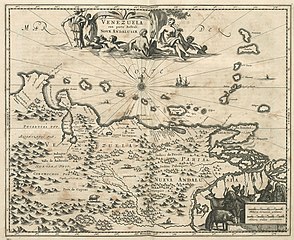
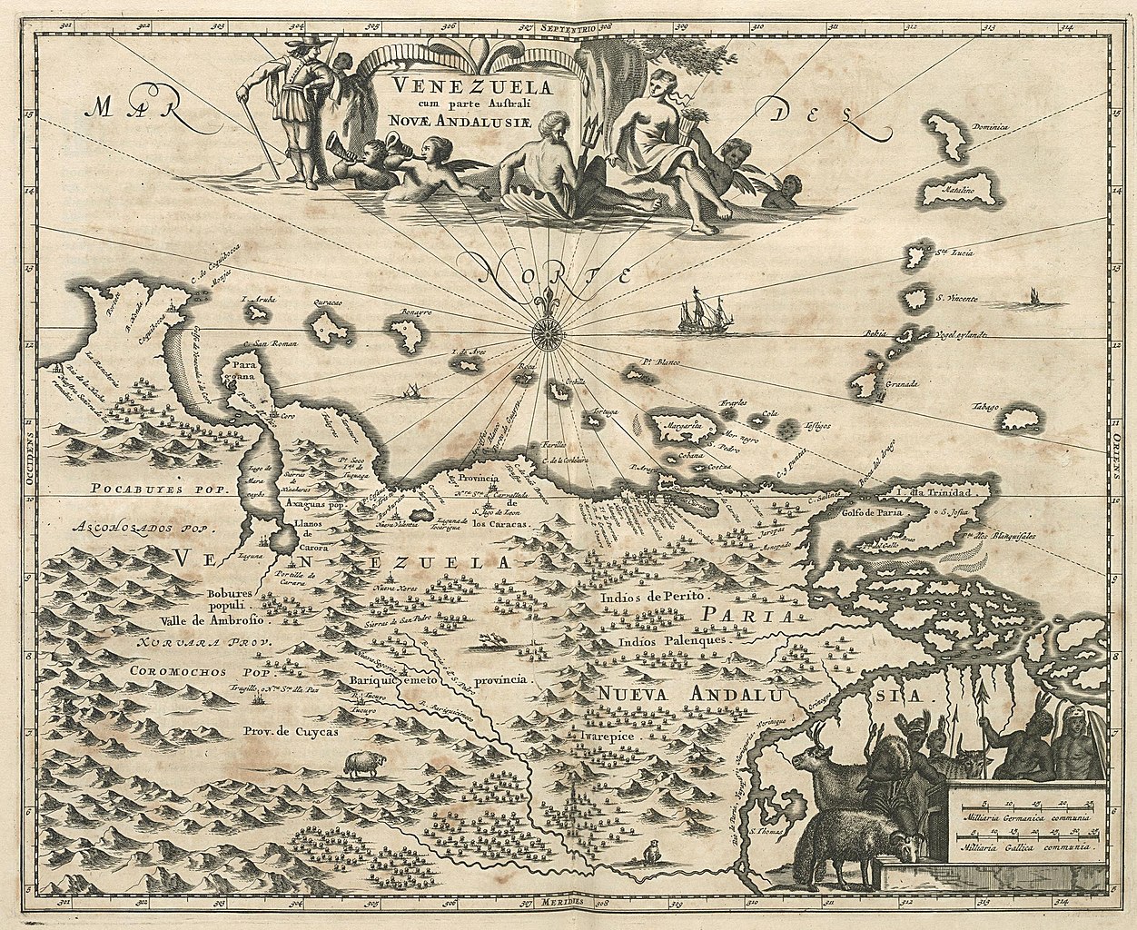
Nederlands: Kaart van Venezuela
English: Map of Venezuela( |
||||||||||||||||||||||||||
|---|---|---|---|---|---|---|---|---|---|---|---|---|---|---|---|---|---|---|---|---|---|---|---|---|---|---|
| Author |
Nederlands: Jacob van Meurs (uitgever), Jacob van Meurs (landmeter / kaartenmaker)
English: Jacob van Meurs (publisher), Jacob van Meurs (land surveyor / mapmaker) |
|||||||||||||||||||||||||
| Title |
Nederlands: Kaart van Venezuela
English: Map of Venezuela |
|||||||||||||||||||||||||
| Description |
Nederlands: Kaart van Venezuela.
Venezuela cum parte Australi Novae Andalusiae. Cf. Koninklijke Bibliotheek, Den Haag, inv. nr. 36 G 19 na p. 596 en 40 E 6 na p. 608.English: Map of Venezuela.
Venezuela cum parte Australi Novae Andalusiae. Cf. Koninklijke Bibliotheek, Den Haag, inv. nr. 36 G 19 after p. 596 and 40 E 6 after p. 608. |
|||||||||||||||||||||||||
| Date | circa 1671 | |||||||||||||||||||||||||
| Medium |
Nederlands: gravure op papier
English: engraving on paper |
|||||||||||||||||||||||||
| Dimensions | height: 36.5 cm (14.3 in); width: 30 cm (11.8 in) | |||||||||||||||||||||||||
| Collection |
|
|||||||||||||||||||||||||
| Accession number |
185 B 14 deel II, na p. 552 |
|||||||||||||||||||||||||
| Inscriptions |
Venezuela cum parte Australi Novae Andalusiae
|
|||||||||||||||||||||||||
| Notes |
English: Subjects: chart / map / plan, banderole / cartouche / ornamentation
Nederlands: Onderwerpen: plattegrond / kaart, banderol / cartouche / versiering
English: Post: this image is related to a WIC trading post called Aruba |
|||||||||||||||||||||||||
| Source/Photographer |
|
|||||||||||||||||||||||||
| Permission (Reusing this file) |
|
|||||||||||||||||||||||||

| Object location | | View this and other nearby images on: OpenStreetMap |
|---|
File history
Click on a date/time to view the file as it appeared at that time.
| Date/Time | Thumbnail | Dimensions | User | Comment | |
|---|---|---|---|---|---|
| current | 11:32, 10 June 2014 | | 2,400 × 1,963 (1.15 MB) | HuskyBot (talk | contribs) | == {{int:filedesc}} == {{Artwork |title = {{nl|1=Kaart van Venezuela}} {{en|1=Map of Venezuela}} |description = {{nl|1=Kaart van Venezuela. ''Venezuela cum parte Australi Novae Andalusiae''. Cf. Koninklijke B... |
You cannot overwrite this file.
File usage on Commons
The following page uses this file: